Transport Functions
Road
Multimodal
Hub Profile
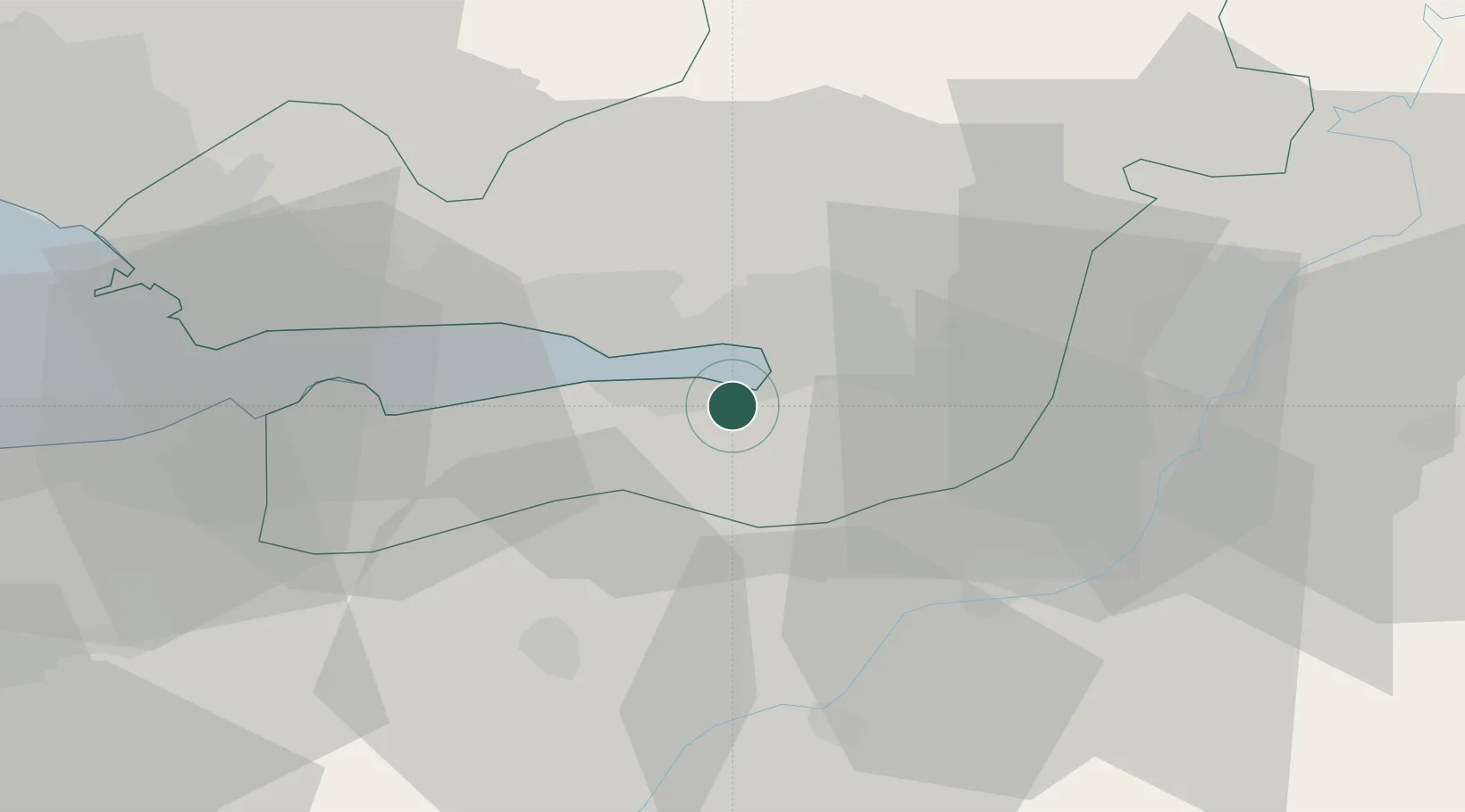
Place type
Populated place
Region
Düzce
Time zone
Europe/Istanbul
Elevation
218 m
Location
Nearby Logistics Neighbours
Cities
- 1Limas2 km
- 2Yeniköy-Autoport3 km
- 3Kartepe7 km
- 4Derince11 km
- 5Yarimca15 km
Ports
- 1Izmit8 km
- 2Golcuk Burnu8 km
- 3Derince Burnu9 km
- 4Yarimca20 km
- 5Gebze30 km
Airports
DatabookThe Record of Consolidated Knowledge
Türkiye beyond logistics?