UN/LOCODE hub · Türkiye
TRIZT
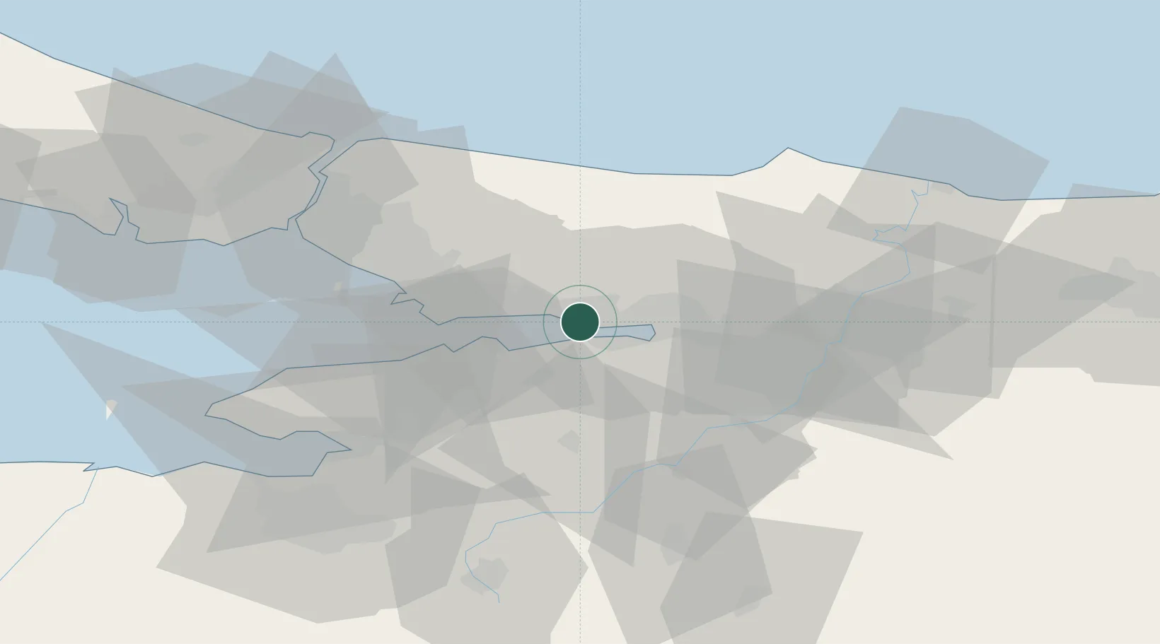
Izmit
40.7648°, 29.7443°
196,571
Population
3
Transport functions
1
Container terminals
Transport Functions
Port
Rail
Road
Hub Profile
Place type
Regional capital
Region
Kocaeli
Population
196,571
Time zone
Europe/Istanbul
Elevation
19 m
Logistics facilities
5
Container terminals
1
Location
Nearby Logistics Neighbours
Cities
- 1Yarimca0 km
- 2Körfez3 km
- 3Evyap Port /Kocaeli4 km
- 4Derince5 km
- 5Yeniköy-Autoport12 km
Ports
- 1Yarimca5 km
- 2Derince Burnu6 km
- 3Golcuk Burnu7 km
- 4Gebze16 km
- 5Gemlik66 km
Airports
DatabookThe Record of Consolidated Knowledge
Türkiye beyond logistics?