About
Methodology
Sources
Licensing
English
EN
English
TR
Türkçe
DE
Deutsch
FR
Français
ES
Español
IT
Italiano
PT
Português
NL
Nederlands
PL
Polski
RU
Русский
UK
Українська
CS
Čeština
RO
Română
EL
Ελληνικά
BG
Български
AR
العربية
FA
فارسی
UR
اردو
HI
हिन्दी
BN
বাংলা
ID
Bahasa Indonesia
VI
Tiếng Việt
ZH
中文
JA
日本語
KO
한국어
logibook
/
Countries
/
Türkiye
/
Locations
/
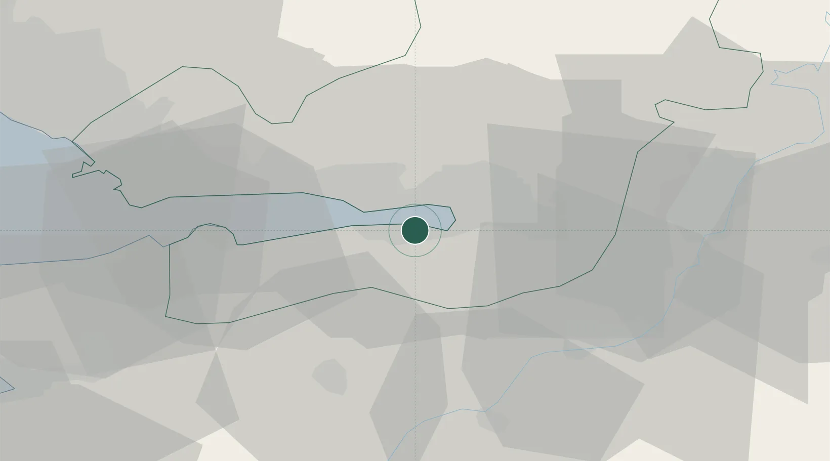
Yeniköy-Autoport
UN/LOCODE hub ·
Türkiye
TR
AUT
Yeniköy-Autoport
40.7167°, 29.8667°
1
Transport functions
Transport Functions
Port
UN/LOCODE
Hub Profile
Region
41
GeoNames
Location
Natural Earth 10m (public domain) · 41 · TRAUT · 40.72, 29.87
Google ↗
OSM ↗
Yandex ↗
Nearby Logistics Neighbours
Cities
1
Limas
2 km
2
Yenikoy
3 km
3
Derince
7 km
4
Kartepe
9 km
5
Yarimca
12 km
Nearest neighbours — logibook spatial index (haversine) over the source coordinates
Ports
1
Golcuk Burnu
5 km
2
Derince Burnu
6 km
3
Izmit
7 km
4
Yarimca
17 km
5
Gebze
27 km
Nearest neighbours — logibook spatial index (haversine) over the source coordinates
Airports
1
Cengiz Topel Airport
18 km
2
Istanbul Sabiha Gökçen International Airport
51 km
3
Bursa Yenişehir Airport
57 km
4
İstanbul Samandıra Army Air Base
63 km
5
İstanbul Atatürk Airport
92 km
Nearest neighbours — logibook spatial index (haversine) over the source coordinates
Trade Zones
1
Kocaeli Free Zone
1 km
2
Asim Kibar Organized Industrial Zone
16 km
3
Kocaeli Gebze Dilovasi Organized Industrial Zone
29 km
4
TUBITAK Technology Free Zone and Technopark
36 km
5
TÜBā°TAK Technology Free Zone and Technopark
36 km
Nearest neighbours — logibook spatial index (haversine) over the source coordinates
Data
book
The Record of Consolidated Knowledge
Türkiye beyond logistics?
Browse databook
→
All Sources
Locations
UN/LOCODE
UN/LOCODE — free
↗
Ports
the NGA World Port Index
Public domain (US gov)
↗
Airports
OurAirports
Public domain
↗
Trade Zones
the World Bank SEZ database
CC BY 4.0
↗
Trade Zones
Open Zone Map
CC BY
↗
← Türkiye locations