UN/LOCODE hub · Türkiye
TRFOC

Foça

38.6667°, 26.7500°
15,189
Population
1
Transport functions

Transport Functions

Port
UN/LOCODE

Hub Profile

Place type
Provincial seat
GeoNames
Region
İzmir Province
GeoNames
Population
15,189
GeoNames
Time zone
Europe/Istanbul
GeoNames
Elevation
5 m
GeoNames

Location

Location of TRFOC
Natural Earth 10m (public domain) · İzmir Province · TRFOC · 38.67, 26.75GoogleOSMYandex

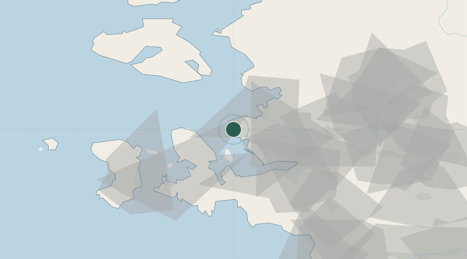
Nearby Logistics Neighbours

Cities
  1. 1Aliaga19 km
  2. 2Güzelbahçe37 km
  3. 3Konak43 km
  4. 4Basmahane45 km
  5. 5Dikili46 km
Nearest neighbours — logibook spatial index (haversine) over the source coordinates
Ports
  1. 1Nemrut Limani Bay18 km
  2. 2Aliaga24 km
  3. 3Dikili39 km
  4. 4Izmir42 km
  5. 5Plomarion48 km
Nearest neighbours — logibook spatial index (haversine) over the source coordinates
Airports
  1. 1Çiğli Airbase28 km
  2. 2Mytilene International Airport45 km
  3. 3Adnan Menderes International Airport55 km
  4. 4Chios Island National Airport64 km
  5. 5Akhisar Airport / Akhisar Air Base95 km
Nearest neighbours — logibook spatial index (haversine) over the source coordinates
Trade Zones
  1. 1Izmir Free Zone17 km
  2. 2Aliaga Kimya Ihtisas ve Karma Organized Industrial Zone31 km
  3. 3Izmir Ataturk Organized Industrial Zone32 km
  4. 4Aegean Free Zone49 km
  5. 5Manisa Organized Industrial Zone54 km
Nearest neighbours — logibook spatial index (haversine) over the source coordinates
DatabookThe Record of Consolidated Knowledge
Türkiye beyond logistics?
Browse databook

All Sources

LocationsUN/LOCODE
UN/LOCODE — free
LocationsGeoNames
CC BY 4.0
Portsthe NGA World Port Index
Public domain (US gov)
AirportsOurAirports
Public domain
Trade Zonesthe World Bank SEZ database
CC BY 4.0
Trade ZonesOpen Zone Map
CC BY
← Türkiye locations