Channel & Berth Profile
Pilotage, Tugs & Services
Pilotage compulsoryNO
Pilotage availableYES
Tug assistanceNO
Salvage tugsNO
Potable waterYES
Diesel bunkersYES
MedicalYES
Facilities & Capabilities
Container—
Ro-Ro—
Liquid bulk—
Dry bulk—
Oil terminal—
Break bulk—
Dry dock—
RepairsNO
BunkeringYES
Rail link—
Dangerous cargo—
ISPS security—
Harbour Specifications
Harbour size
Small
Harbour type
Coastal (Breakwater)
Shelter
Fair
Water body
Aegean Sea; Mediterranean Sea; North Atlantic Ocean
Pilotage
No
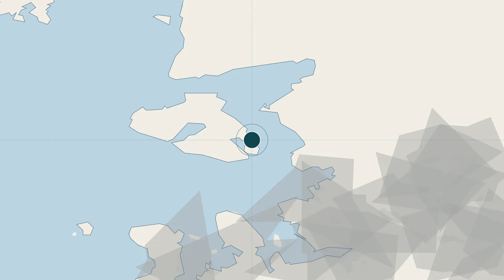
Location
Nearby Logistics Neighbours
Ports
- 1Plomarion22 km
- 2Dikili24 km
- 3Ayvalik27 km
- 4Aliaga43 km
- 5Nemrut Limani Bay48 km
Cities
- 1Perama Geras Mytilinis9 km
- 2Plomárion22 km
- 3Ayvalik26 km
- 4Dikili28 km
- 5Petra42 km
Airports
Trade Zones
DatabookThe Record of Consolidated Knowledge
Greece beyond logistics?