UN/LOCODE hub · Türkiye
TRALI

Aliaga

38.7560°, 26.9405°
44,883
Population
1
Transport functions
3
Container terminals

Transport Functions

Port
Aliaga is also a profiled seaport →
UN/LOCODE

Hub Profile

Place type
Provincial seat
GeoNames
Region
İzmir Province
GeoNames
Population
44,883
GeoNames
Time zone
Europe/Istanbul
GeoNames
Elevation
24 m
GeoNames
Logistics facilities
12
UN/LOCODE
Container terminals
3
UN/LOCODE

Location

Location of TRALI
Natural Earth 10m (public domain) · İzmir Province · TRALI · 38.76, 26.94GoogleOSMYandex

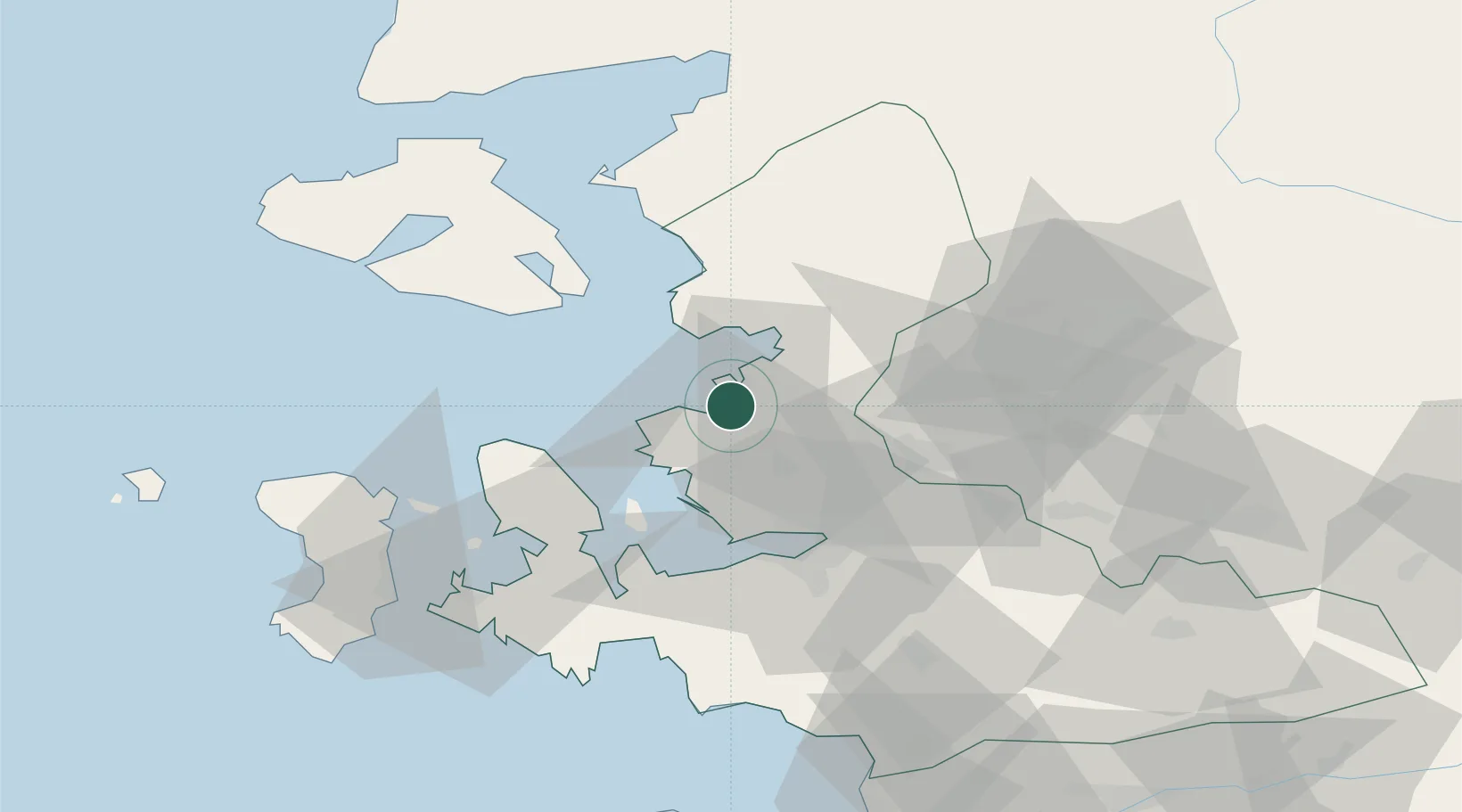
Nearby Logistics Neighbours

Cities
  1. 1Foça19 km
  2. 2Dikili35 km
  3. 3Muradiye36 km
  4. 4Manisa38 km
  5. 5Izmir42 km
Nearest neighbours — logibook spatial index (haversine) over the source coordinates
Ports
  1. 1Nemrut Limani Bay2 km
  2. 2Dikili31 km
  3. 3Izmir40 km
  4. 4Mitilini50 km
  5. 5Plomarion56 km
Nearest neighbours — logibook spatial index (haversine) over the source coordinates
Airports
  1. 1Çiğli Airbase28 km
  2. 2Mytilene International Airport45 km
  3. 3Adnan Menderes International Airport55 km
  4. 4Akhisar Airport / Akhisar Air Base78 km
  5. 5Chios Island National Airport83 km
Nearest neighbours — logibook spatial index (haversine) over the source coordinates
Trade Zones
  1. 1Aliaga Kimya Ihtisas ve Karma Organized Industrial Zone12 km
  2. 2Izmir Free Zone15 km
  3. 3Izmir Ataturk Organized Industrial Zone31 km
  4. 4Manisa Organized Industrial Zone40 km
  5. 5Aegean Free Zone49 km
Nearest neighbours — logibook spatial index (haversine) over the source coordinates
DatabookThe Record of Consolidated Knowledge
Türkiye beyond logistics?
Browse databook

All Sources

LocationsUN/LOCODE
UN/LOCODE — free
LocationsGeoNames
CC BY 4.0
Portsthe NGA World Port Index
Public domain (US gov)
AirportsOurAirports
Public domain
Trade Zonesthe World Bank SEZ database
CC BY 4.0
Trade ZonesOpen Zone Map
CC BY
← Türkiye locations