About
Methodology
Sources
Licensing
English
EN
English
TR
Türkçe
DE
Deutsch
FR
Français
ES
Español
IT
Italiano
PT
Português
NL
Nederlands
PL
Polski
RU
Русский
UK
Українська
CS
Čeština
RO
Română
EL
Ελληνικά
BG
Български
AR
العربية
FA
فارسی
UR
اردو
HI
हिन्दी
BN
বাংলা
ID
Bahasa Indonesia
VI
Tiếng Việt
ZH
中文
JA
日本語
KO
한국어
logibook
/
Countries
/
Greece
/
Locations
/
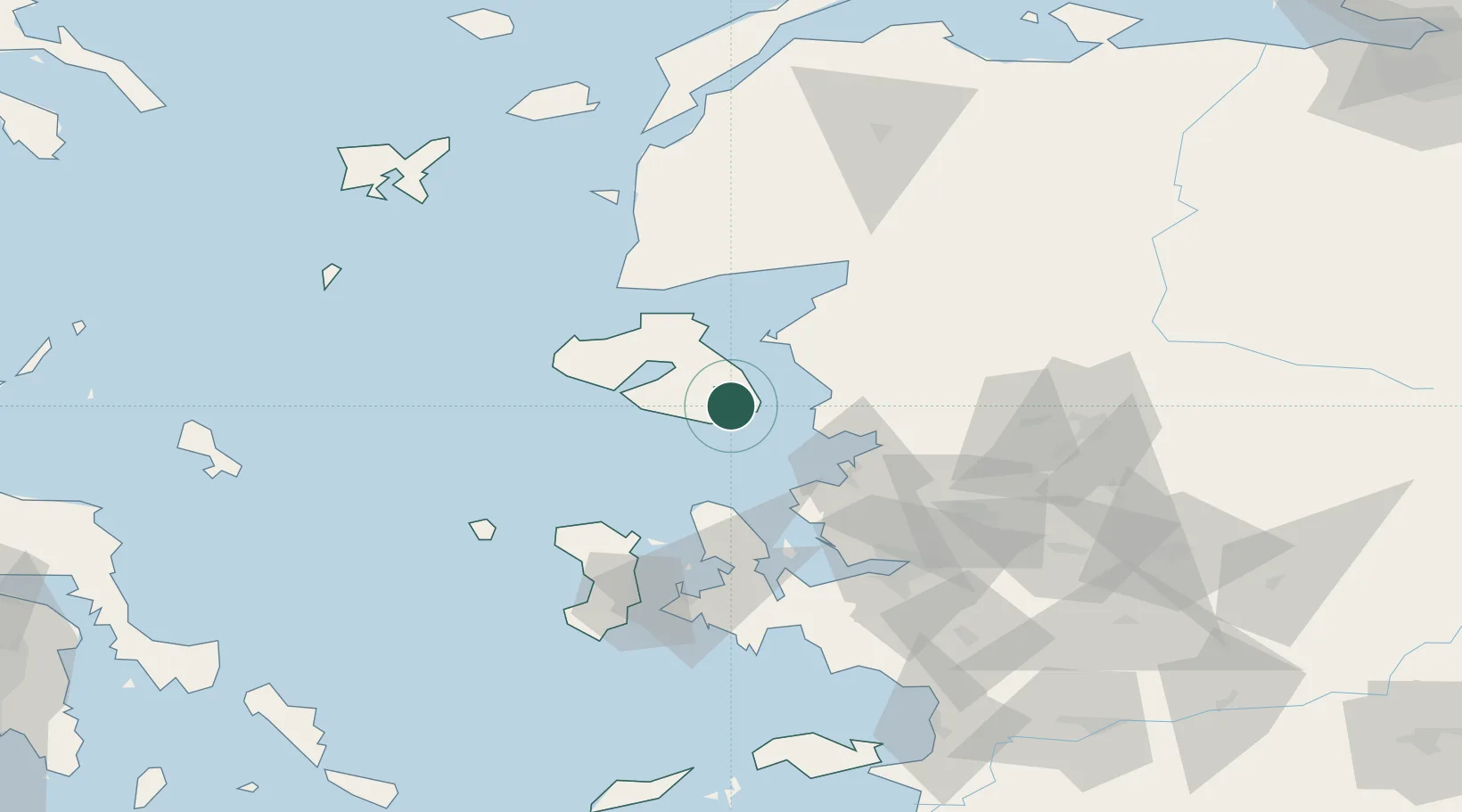
Perama Geras Mytilinis
UN/LOCODE hub ·
Greece
GR
PGM
Perama Geras Mytilinis
39.0333°, 26.5000°
1
Transport functions
Transport Functions
Port
UN/LOCODE
Hub Profile
Region
83
GeoNames
Location
Natural Earth 10m (public domain) · 83 · GRPGM · 39.03, 26.50
Google ↗
OSM ↗
Yandex ↗
Nearby Logistics Neighbours
Cities
1
Mytilene
9 km
2
Plomárion
13 km
3
Dikili
33 km
4
Ayvalik
35 km
5
Petra
43 km
Nearest neighbours — logibook spatial index (haversine) over the source coordinates
Ports
1
Mitilini
9 km
2
Plomarion
13 km
3
Dikili
27 km
4
Ayvalik
36 km
5
Aliaga
44 km
Nearest neighbours — logibook spatial index (haversine) over the source coordinates
Airports
1
Mytilene International Airport
9 km
2
Balıkesir Koca Seyit Airport
73 km
3
Çiğli Airbase
73 km
4
Chios Island National Airport
83 km
5
Adnan Menderes International Airport
100 km
Nearest neighbours — logibook spatial index (haversine) over the source coordinates
Trade Zones
1
Aliaga Kimya Ihtisas ve Karma Organized Industrial Zone
54 km
2
Izmir Free Zone
59 km
3
Izmir Ataturk Organized Industrial Zone
76 km
4
Manisa Organized Industrial Zone
88 km
5
Aegean Free Zone
94 km
Nearest neighbours — logibook spatial index (haversine) over the source coordinates
Data
book
The Record of Consolidated Knowledge
Greece beyond logistics?
Browse databook
→
All Sources
Locations
UN/LOCODE
UN/LOCODE — free
↗
Ports
the NGA World Port Index
Public domain (US gov)
↗
Airports
OurAirports
Public domain
↗
Trade Zones
the World Bank SEZ database
CC BY 4.0
↗
Trade Zones
Open Zone Map
CC BY
↗
← Greece locations