Seaport · Sweden

VarbergSEVAG

57.1089°, 12.2325°
11.0 m
Channel depth
13.9
Port liner connectivity

Channel & Berth Profile

SEA LEVEL (CD)CHANNEL BEDCargo pier · 4.9 mOil terminal · 6.4 mChannel · 11.0 mAnchorage · 14.0 m
NGA World Port Index

Pilotage, Tugs & Services

Pilotage compulsoryYES
Pilotage availableYES
Pilotage advisableYES
Tug assistanceYES
Potable waterYES
MedicalYES
Garbage disposalYES
NGA World Port Index

Facilities & Capabilities

ContainerYES
Ro-RoYES
Liquid bulkNO
Dry bulkYES
Oil terminalNO
Break bulkYES
Dry dock
RepairsNO
BunkeringYES
Rail linkYES
Dangerous cargo
ISPS security
NGA World Port Index

Harbour Specifications

Harbour size
Medium
NGA World Port Index
Harbour type
Coastal (Breakwater)
NGA World Port Index
Shelter
Good
NGA World Port Index
Water body
Kattegat; North Atlantic Ocean
NGA World Port Index
Pilotage
Yes
NGA World Port Index

Liner Connectivity

13.9
PLSCI

Port Liner Shipping Connectivity Index for Varberg, as published by UNCTAD for the latest available quarter. Higher values indicate stronger scheduled liner-shipping integration.

Shown relative to the highest per-port PLSCI in the dataset (1,657.9).
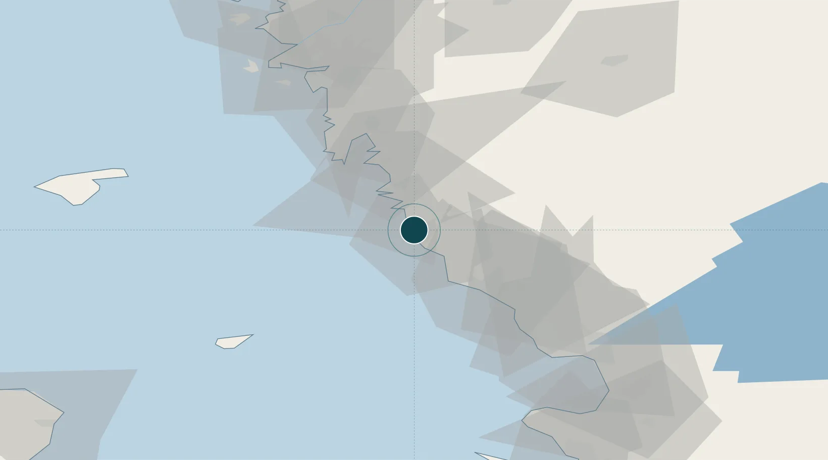
UNCTAD · Port Liner Shipping Connectivity Index

Location

Location of SEVAG
Natural Earth 10m (public domain) · Halland · SEVAG · 57.11, 12.23GoogleOSMYandex

Nearby Logistics Neighbours

Ports
  1. 1Falkenberg29 km
  2. 2Nykobing (Mor)44 km
  3. 3Halmstad63 km
  4. 4Goteborg69 km
  5. 5Marstrand94 km
Nearest neighbours — logibook spatial index (haversine) over the source coordinates
Cities
  1. 1Nygård5 km
  2. 2Träslövsläge7 km
  3. 3Väröbacka16 km
  4. 4Ringhals18 km
  5. 5Langas19 km
Nearest neighbours — logibook spatial index (haversine) over the source coordinates
Airports
  1. 1Halmstad Airport59 km
  2. 2Anholt Airfield61 km
  3. 3Göteborg Landvetter Airport62 km
  4. 4Læsø Airport77 km
  5. 5Säve Airport77 km
Nearest neighbours — logibook spatial index (haversine) over the source coordinates
Trade Zones
  1. 1Gothenburg Boundless Customs Warehouse71 km
  2. 2Jönköping Free Zone133 km
  3. 3Freeport of Copenhagen- Nordhavn157 km
  4. 4MTS Malmö Transport and Spedition175 km
  5. 5Freeport of Kiel334 km
Nearest neighbours — logibook spatial index (haversine) over the source coordinates
DatabookThe Record of Consolidated Knowledge
Sweden beyond logistics?
Browse databook

All Sources

Portsthe NGA World Port Index
Public domain (US gov)
Logistics performanceUNCTAD
CC BY 3.0 IGO
AirportsOurAirports
Public domain
LocationsUN/LOCODE
UN/LOCODE — free
Trade Zonesthe World Bank SEZ database
CC BY 4.0
Trade ZonesOpen Zone Map
CC BY
← Sweden ports