Transport Functions
Port
Hub Profile
Place type
Populated place
Region
Halland
Population
1,985
Time zone
Europe/Stockholm
Elevation
11 m
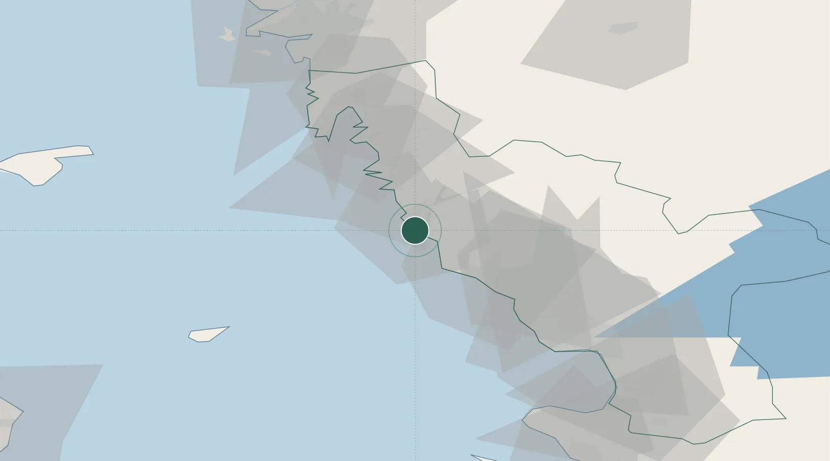
Location
Nearby Logistics Neighbours
Cities
- 1Nygård3 km
- 2Langas13 km
- 3Glommen14 km
- 4Väröbacka23 km
- 5Falkenberg23 km
Ports
- 1Varberg7 km
- 2Falkenberg22 km
- 3Nykobing (Mor)40 km
- 4Halmstad56 km
- 5Goteborg76 km
Airports
- 1Halmstad Airport52 km
- 2Anholt Airfield58 km
- 3Göteborg Landvetter Airport68 km
- 4Læsø Airport80 km
- 5Säve Airport84 km
Trade Zones
DatabookThe Record of Consolidated Knowledge
Sweden beyond logistics?