Transport Functions
Multimodal
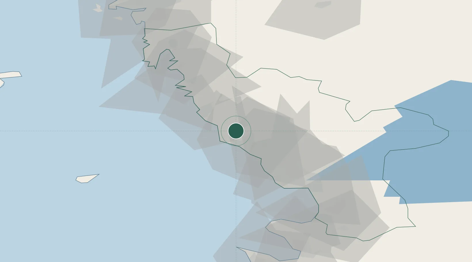
Hub Profile
Place type
Populated place
Region
Halland
Population
539
Time zone
Europe/Stockholm
Elevation
20 m
Location
Nearby Logistics Neighbours
Cities
- 1Glommen8 km
- 2Falkenberg12 km
- 3Träslövsläge13 km
- 4Nygård16 km
- 5Slöinge21 km
Ports
- 1Falkenberg11 km
- 2Varberg19 km
- 3Nykobing (Mor)43 km
- 4Halmstad43 km
- 5Goteborg86 km
Airports
- 1Halmstad Airport40 km
- 2Anholt Airfield63 km
- 3Göteborg Landvetter Airport76 km
- 4Ängelholm-Helsingborg Airport80 km
- 5Læsø Airport93 km
Trade Zones
DatabookThe Record of Consolidated Knowledge
Sweden beyond logistics?