Transport Functions
Road
Multimodal
Hub Profile
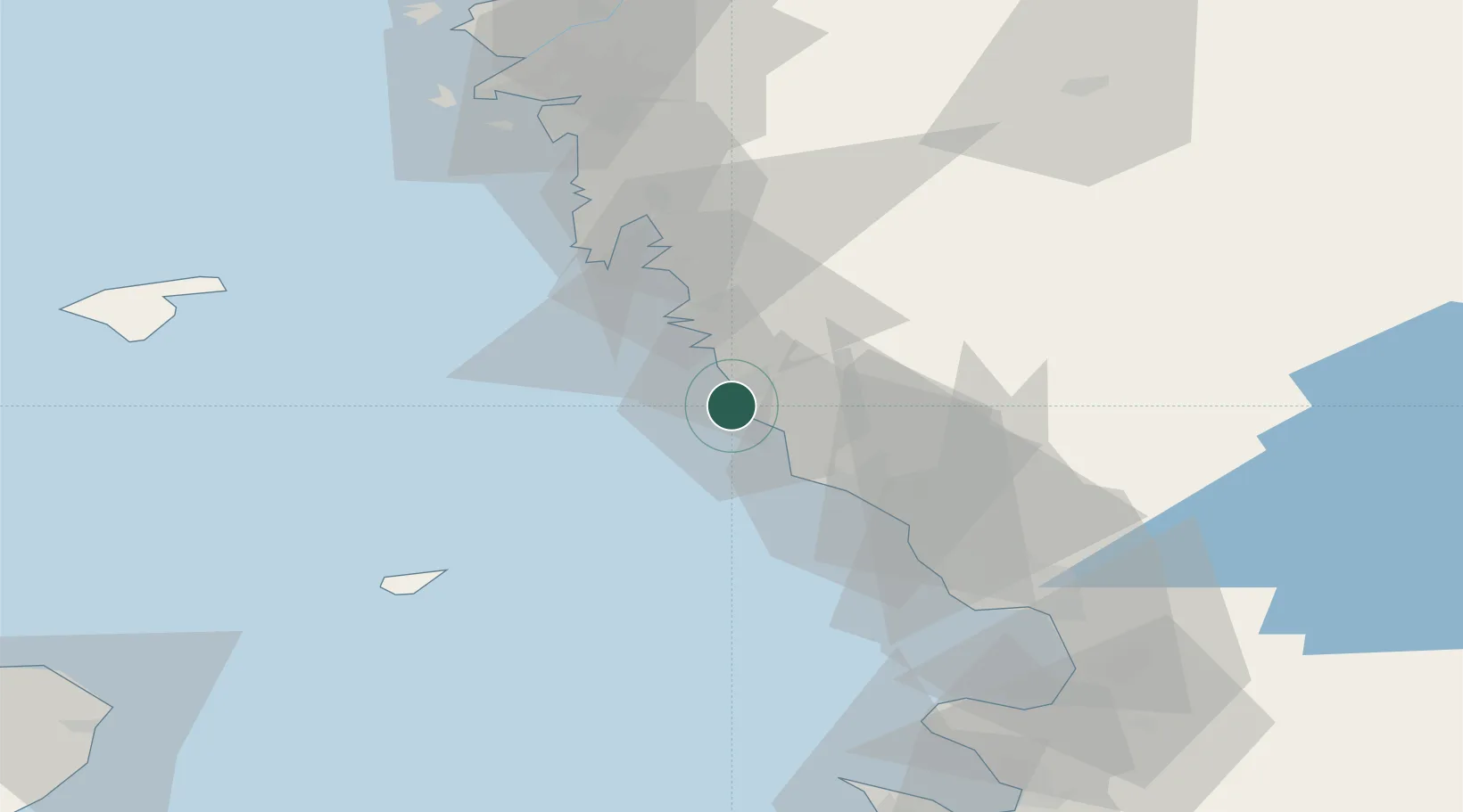
Place type
Populated place
Region
Halland
Time zone
Europe/Stockholm
Elevation
8 m
Location
Nearby Logistics Neighbours
Cities
- 1Träslövsläge3 km
- 2Langas16 km
- 3Glommen16 km
- 4Väröbacka21 km
- 5Ringhals22 km
Ports
- 1Varberg5 km
- 2Falkenberg25 km
- 3Nykobing (Mor)40 km
- 4Halmstad59 km
- 5Goteborg73 km
Airports
- 1Halmstad Airport55 km
- 2Anholt Airfield58 km
- 3Göteborg Landvetter Airport66 km
- 4Læsø Airport78 km
- 5Säve Airport82 km
Trade Zones
DatabookThe Record of Consolidated Knowledge
Sweden beyond logistics?