Seaport · Sweden
HalmstadSEHAD
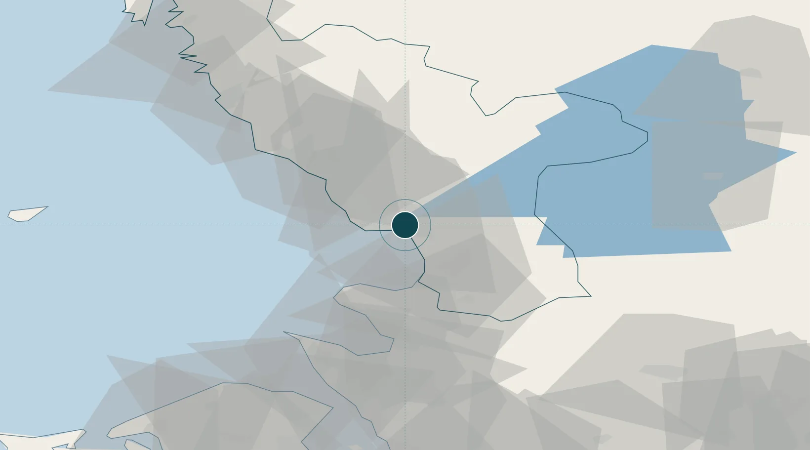
56.6667°, 12.8667°
11.0 m
Channel depth
1
Container terminals
45.6
Port liner connectivity
Channel & Berth Profile
Pilotage, Tugs & Services
Pilotage availableYES
Pilotage advisableYES
Tug assistanceYES
Potable waterYES
MedicalYES
Facilities & Capabilities
ContainerYES
Ro-RoYES
Liquid bulkYES
Dry bulkYES
Oil terminalNO
Break bulkYES
Dry dockNO
RepairsNO
BunkeringYES
Rail linkYES
Dangerous cargo—
ISPS security—
Harbour Specifications
Harbour size
Small
Harbour type
Coastal (Breakwater)
Shelter
Good
Water body
Kattegat; North Atlantic Ocean
Tidal range
3 m
Overhead limit
Yes
Liner Connectivity
45.6
PLSCI
Port Liner Shipping Connectivity Index for Halmstad, as published by UNCTAD for the latest available quarter. Higher values indicate stronger scheduled liner-shipping integration.
Shown relative to the highest per-port PLSCI in the dataset (1,657.9).
Location
Container Terminals · 1
KATTEGAT TERMINAL HALMSTAD
KTH HALLANDS HAMNAR AB
Nearby Logistics Neighbours
Ports
- 1Falkenberg34 km
- 2Hoganas56 km
- 3Nykobing (Mor)62 km
- 4Varberg63 km
- 5Helsingborg71 km
Cities
- 1Holm8 km
- 2Slöinge23 km
- 3Östra Karup28 km
- 4Falkenberg33 km
- 5Borschütz37 km
Airports
- 1Halmstad Airport4 km
- 2Ängelholm-Helsingborg Airport41 km
- 3Ljungbyhed Airfield68 km
- 4Anholt Airfield80 km
- 5København Vandflyveplads110 km
Trade Zones
- 1Freeport of Copenhagen- Nordhavn107 km
- 2MTS Malmö Transport and Spedition119 km
- 3Gothenburg Boundless Customs Warehouse132 km
- 4Jönköping Free Zone143 km
- 5Freeport of Kiel310 km
DatabookThe Record of Consolidated Knowledge
Sweden beyond logistics?