UN/LOCODE hub · Sweden
SEVBC

Väröbacka

57.2500°, 12.1833°
2
Transport functions

Transport Functions

Rail
Road
UN/LOCODE

Hub Profile

Region
N
GeoNames

Location

Location of SEVBC
Natural Earth 10m (public domain) · N · SEVBC · 57.25, 12.18GoogleOSMYandex

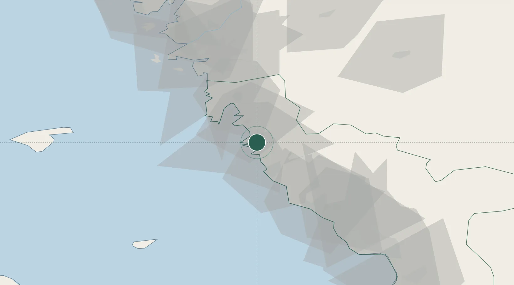
Nearby Logistics Neighbours

Cities
  1. 1Ringhals6 km
  2. 2Frillesås8 km
  3. 3Nygård21 km
  4. 4Onsala21 km
  5. 5Träslövsläge23 km
Nearest neighbours — logibook spatial index (haversine) over the source coordinates
Ports
  1. 1Varberg16 km
  2. 2Falkenberg44 km
  3. 3Goteborg53 km
  4. 4Nykobing (Mor)57 km
  5. 5Halmstad77 km
Nearest neighbours — logibook spatial index (haversine) over the source coordinates
Airports
  1. 1Göteborg Landvetter Airport46 km
  2. 2Säve Airport61 km
  3. 3Læsø Airport71 km
  4. 4Anholt Airfield72 km
  5. 5Halmstad Airport73 km
Nearest neighbours — logibook spatial index (haversine) over the source coordinates
Trade Zones
  1. 1Gothenburg Boundless Customs Warehouse55 km
  2. 2Jönköping Free Zone128 km
  3. 3Freeport of Copenhagen- Nordhavn173 km
  4. 4MTS Malmö Transport and Spedition191 km
  5. 5Freeport of Kiel348 km
Nearest neighbours — logibook spatial index (haversine) over the source coordinates
DatabookThe Record of Consolidated Knowledge
Sweden beyond logistics?
Browse databook

All Sources

LocationsUN/LOCODE
UN/LOCODE — free
Portsthe NGA World Port Index
Public domain (US gov)
AirportsOurAirports
Public domain
Trade Zonesthe World Bank SEZ database
CC BY 4.0
Trade ZonesOpen Zone Map
CC BY
← Sweden locations