UN/LOCODE hub · Sweden
SERIN

Ringhals

57.2500°, 12.0833°
1
Transport functions

Transport Functions

Port
UN/LOCODE

Hub Profile

Region
N
GeoNames

Location

Location of SERIN
Natural Earth 10m (public domain) · N · SERIN · 57.25, 12.08GoogleOSMYandex

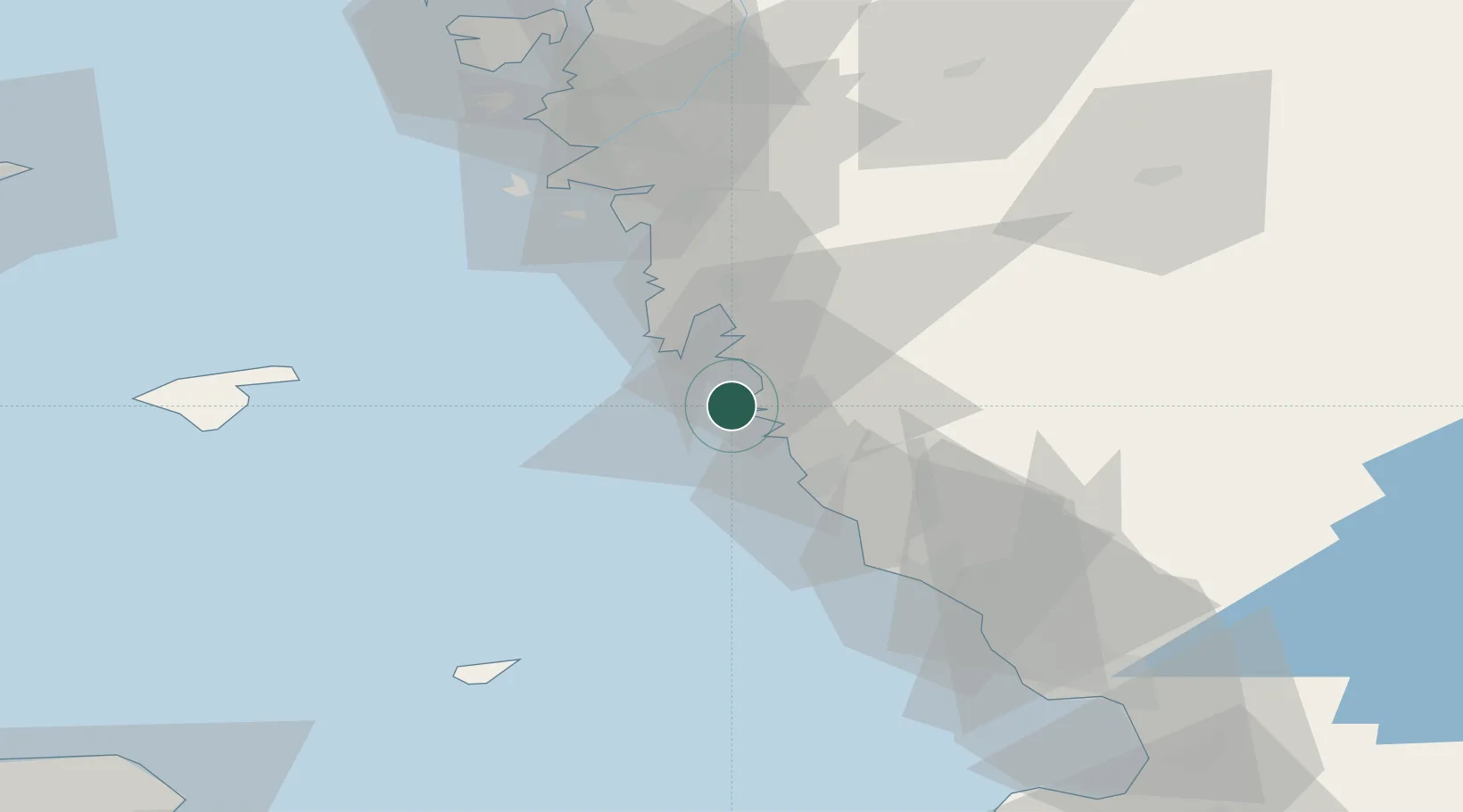
Nearby Logistics Neighbours

Cities
  1. 1Väröbacka6 km
  2. 2Frillesås9 km
  3. 3Onsala19 km
  4. 4Nygård22 km
  5. 5Heberg25 km
Nearest neighbours — logibook spatial index (haversine) over the source coordinates
Ports
  1. 1Varberg18 km
  2. 2Falkenberg47 km
  3. 3Goteborg52 km
  4. 4Nykobing (Mor)55 km
  5. 5Marstrand76 km
Nearest neighbours — logibook spatial index (haversine) over the source coordinates
Airports
  1. 1Göteborg Landvetter Airport47 km
  2. 2Säve Airport60 km
  3. 3Læsø Airport65 km
  4. 4Anholt Airfield69 km
  5. 5Halmstad Airport77 km
Nearest neighbours — logibook spatial index (haversine) over the source coordinates
Trade Zones
  1. 1Gothenburg Boundless Customs Warehouse53 km
  2. 2Jönköping Free Zone133 km
  3. 3Freeport of Copenhagen- Nordhavn174 km
  4. 4MTS Malmö Transport and Spedition193 km
  5. 5Freeport of Kiel346 km
Nearest neighbours — logibook spatial index (haversine) over the source coordinates
DatabookThe Record of Consolidated Knowledge
Sweden beyond logistics?
Browse databook

All Sources

LocationsUN/LOCODE
UN/LOCODE — free
Portsthe NGA World Port Index
Public domain (US gov)
AirportsOurAirports
Public domain
Trade Zonesthe World Bank SEZ database
CC BY 4.0
Trade ZonesOpen Zone Map
CC BY
← Sweden locations