Runway & Layout

Airport Specifications
ICAO code
EKCC
Airport class
Seaplane base
Scheduled service
Yes
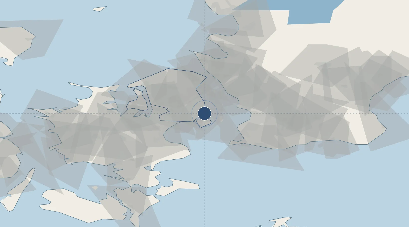
Location
Nearby Logistics Neighbours
Airports
- 1Copenhagen Kastrup Airport9 km
- 2Copenhagen Roskilde Airport32 km
- 3Malmö Sturup Airport52 km
- 4Ljungbyhed Airfield58 km
- 5Ringsted Airfield58 km
Cities
- 1Nordhavn3 km
- 2Dyssegard6 km
- 3Rødovre7 km
- 4Vanløse7 km
- 5Skovshoved8 km
Ports
- 1Kobenhavn1 km
- 2Tuborg3 km
- 3Limhamn23 km
- 4Landskrona24 km
- 5Malmo25 km
Trade Zones
DatabookThe Record of Consolidated Knowledge
Denmark beyond logistics?