UN/LOCODE hub · Sweden
SEHHM

Holm

56.7333°, 12.8500°
764
Population
1
Transport functions

Transport Functions

Multimodal
UN/LOCODE

Hub Profile

Place type
Populated place
GeoNames
Region
Halland
GeoNames
Population
764
GeoNames
Time zone
Europe/Stockholm
GeoNames
Elevation
48 m
GeoNames

Location

Location of SEHHM
Natural Earth 10m (public domain) · Halland · SEHHM · 56.73, 12.85GoogleOSMYandex

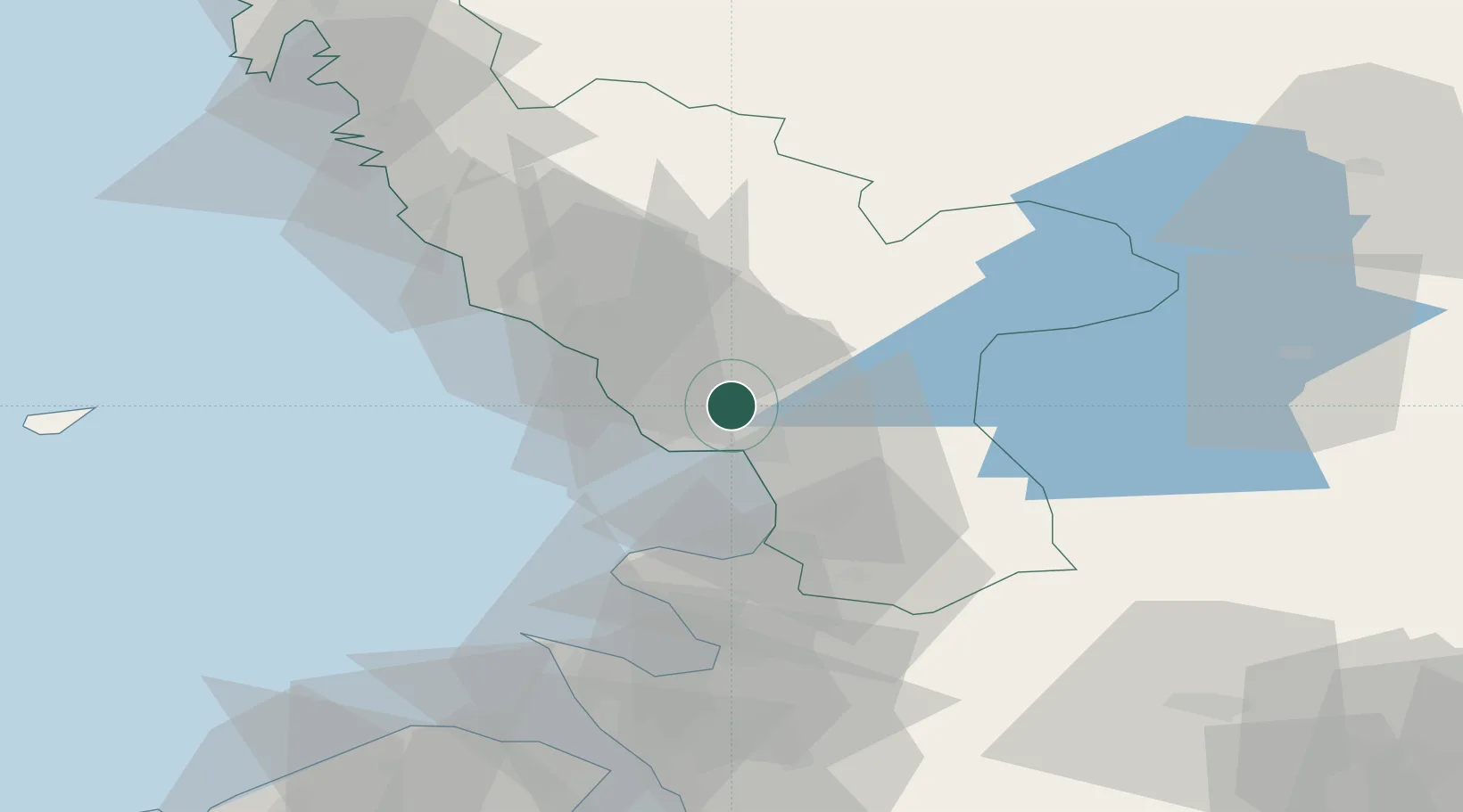
Nearby Logistics Neighbours

Cities
  1. 1Halmstad9 km
  2. 2Slöinge17 km
  3. 3Falkenberg27 km
  4. 4Östra Karup36 km
  5. 5Langas37 km
Nearest neighbours — logibook spatial index (haversine) over the source coordinates
Ports
  1. 1Halmstad8 km
  2. 2Falkenberg29 km
  3. 3Varberg56 km
  4. 4Nykobing (Mor)60 km
  5. 5Hoganas63 km
Nearest neighbours — logibook spatial index (haversine) over the source coordinates
Airports
  1. 1Halmstad Airport5 km
  2. 2Ängelholm-Helsingborg Airport49 km
  3. 3Ljungbyhed Airfield76 km
  4. 4Anholt Airfield79 km
  5. 5Göteborg Landvetter Airport109 km
Nearest neighbours — logibook spatial index (haversine) over the source coordinates
Trade Zones
  1. 1Freeport of Copenhagen- Nordhavn114 km
  2. 2Gothenburg Boundless Customs Warehouse125 km
  3. 3MTS Malmö Transport and Spedition126 km
  4. 4Jönköping Free Zone137 km
  5. 5Freeport of Kiel315 km
Nearest neighbours — logibook spatial index (haversine) over the source coordinates
DatabookThe Record of Consolidated Knowledge
Sweden beyond logistics?
Browse databook

All Sources

LocationsUN/LOCODE
UN/LOCODE — free
LocationsGeoNames
CC BY 4.0
Portsthe NGA World Port Index
Public domain (US gov)
AirportsOurAirports
Public domain
Trade Zonesthe World Bank SEZ database
CC BY 4.0
Trade ZonesOpen Zone Map
CC BY
← Sweden locations