Medium airport · Sweden

Ljungbyhed AirfieldESTL
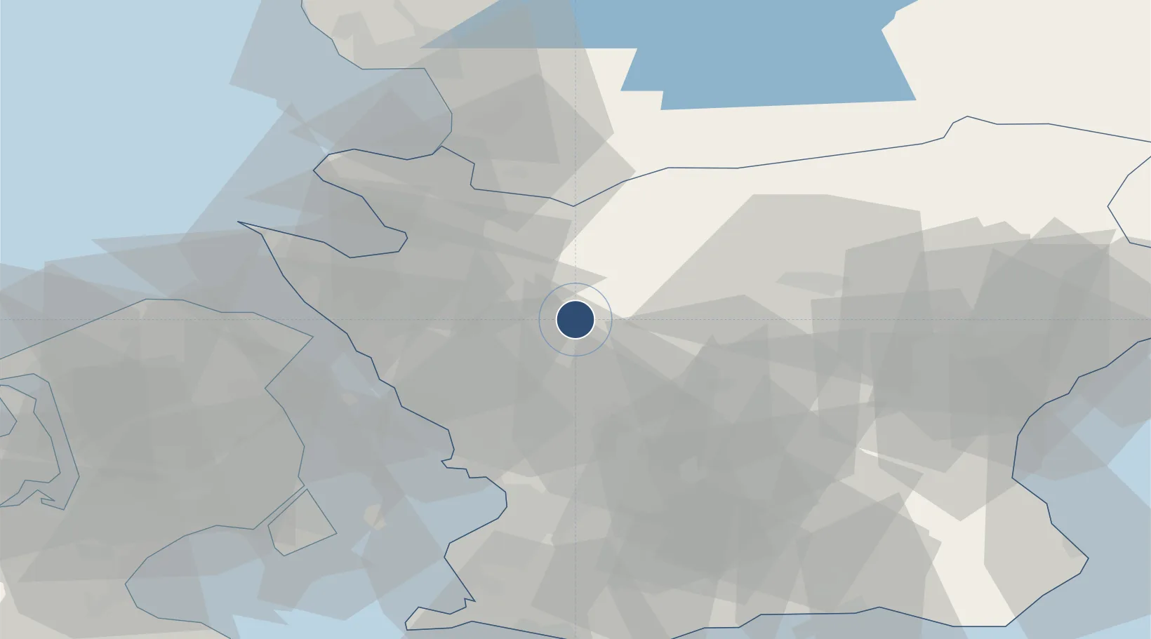
56.0828°, 13.2125°
7,449 ft
Longest runway
2
Runways
140 ft
Elevation

Runway & Layout

Ljungbyhed Airfield runway & taxiway layout
Runway & taxiway layout — OpenStreetMap (ODbL) / OurAirports

Radio Frequencies

ATIS
132.75 MHz
TWR
130.705 MHz
GND
121.65 MHz
APP
129.555 MHz
OurAirports

Navaids

LJU VOR-DME Ljungbyhed 113.40 MHz
OurAirports

Runways · 2

RunwayDimensions SurfaceTrue headingLit
11R/29L 7,449 × 131ft Asphalt 113°
11L/29R 6,596 × 131ft Asphalt 113°
OurAirports

Airport Specifications

ICAO code
ESTL
OurAirports
Airport class
Medium airport
OurAirports
Scheduled service
No
OurAirports
Runway surface
Asphalt
OurAirports
Served city
Ljungbyhed
OurAirports

Location

Location of ESTL
Natural Earth 10m (public domain) · Skåne · ESTL · 56.08, 13.21GoogleOSMYandex

Nearby Logistics Neighbours

Airports
  1. 1Ängelholm-Helsingborg Airport33 km
  2. 2Kristianstad Airport57 km
  3. 3København Vandflyveplads58 km
  4. 4Malmö Sturup Airport62 km
  5. 5Copenhagen Kastrup Airport62 km
Nearest neighbours — logibook spatial index (haversine) over the source coordinates
Cities
  1. 1Kvidinge11 km
  2. 2Svalöv20 km
  3. 3Nyvång20 km
  4. 4Ödåkra30 km
  5. 5Helsingborg30 km
Nearest neighbours — logibook spatial index (haversine) over the source coordinates
Ports
  1. 1Helsingborg33 km
  2. 2Landskrona35 km
  3. 3Helsingor37 km
  4. 4Hoganas43 km
  5. 5Malmo53 km
Nearest neighbours — logibook spatial index (haversine) over the source coordinates
Trade Zones
  1. 1MTS Malmö Transport and Spedition54 km
  2. 2Freeport of Copenhagen- Nordhavn56 km
  3. 3Jönköping Free Zone195 km
  4. 4Gothenburg Boundless Customs Warehouse200 km
  5. 5Swinoujscie Duty Free Zone252 km
Nearest neighbours — logibook spatial index (haversine) over the source coordinates
DatabookThe Record of Consolidated Knowledge
Sweden beyond logistics?
Browse databook

All Sources

AirportsOurAirports
Public domain
Portsthe NGA World Port Index
Public domain (US gov)
LocationsUN/LOCODE
UN/LOCODE — free
Trade Zonesthe World Bank SEZ database
CC BY 4.0
Trade ZonesOpen Zone Map
CC BY
InfrastructureOpenStreetMap
ODbL 1.0
← Sweden airports