UN/LOCODE hub · Sweden
SEHAD
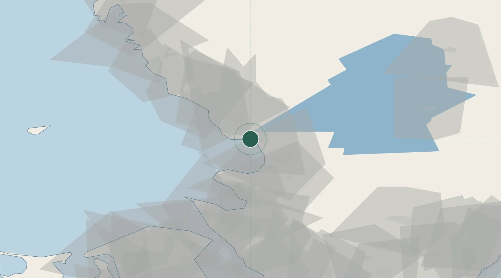
Halmstad
56.6503°, 12.8485°
70,480
Population
4
Transport functions
1
Container terminals
Transport Functions
Port
Rail
Road
Airport
Hub Profile
Place type
Regional capital
Region
Halland
Population
70,480
Time zone
Europe/Stockholm
Elevation
11 m
Logistics facilities
2
Container terminals
1
Location
Nearby Logistics Neighbours
Cities
- 1Holm9 km
- 2Slöinge24 km
- 3Östra Karup27 km
- 4Falkenberg34 km
- 5Borschütz36 km
Ports
- 1Falkenberg35 km
- 2Hoganas54 km
- 3Nykobing (Mor)61 km
- 4Varberg63 km
- 5Helsingborg69 km
Airports
- 1Halmstad Airport5 km
- 2Ängelholm-Helsingborg Airport39 km
- 3Ljungbyhed Airfield67 km
- 4Anholt Airfield79 km
- 5København Vandflyveplads108 km
Trade Zones
- 1Freeport of Copenhagen- Nordhavn105 km
- 2MTS Malmö Transport and Spedition117 km
- 3Gothenburg Boundless Customs Warehouse133 km
- 4Jönköping Free Zone145 km
- 5Freeport of Kiel308 km
DatabookThe Record of Consolidated Knowledge
Sweden beyond logistics?