UN/LOCODE hub · Sweden
SEOTK

Östra Karup

56.4167°, 12.9500°
1
Transport functions

Transport Functions

Multimodal
UN/LOCODE

Hub Profile

Region
M
GeoNames

Location

Location of SEOTK
Natural Earth 10m (public domain) · M · SEOTK · 56.42, 12.95GoogleOSMYandex

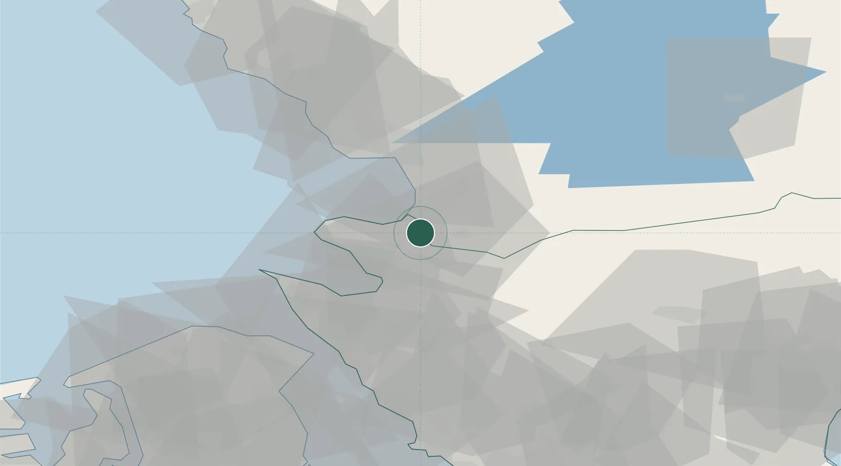
Nearby Logistics Neighbours

Cities
  1. 1Borschütz17 km
  2. 2Hishult22 km
  3. 3Halmstad27 km
  4. 4Mölle31 km
  5. 5Nyvång32 km
Nearest neighbours — logibook spatial index (haversine) over the source coordinates
Ports
  1. 1Halmstad28 km
  2. 2Hoganas35 km
  3. 3Helsingborg45 km
  4. 4Helsingor47 km
  5. 5Falkenberg60 km
Nearest neighbours — logibook spatial index (haversine) over the source coordinates
Airports
  1. 1Ängelholm-Helsingborg Airport15 km
  2. 2Halmstad Airport32 km
  3. 3Ljungbyhed Airfield41 km
  4. 4København Vandflyveplads84 km
  5. 5Kristianstad Airport89 km
Nearest neighbours — logibook spatial index (haversine) over the source coordinates
Trade Zones
  1. 1Freeport of Copenhagen- Nordhavn81 km
  2. 2MTS Malmö Transport and Spedition91 km
  3. 3Gothenburg Boundless Customs Warehouse159 km
  4. 4Jönköping Free Zone165 km
  5. 5Freeport of Kiel290 km
Nearest neighbours — logibook spatial index (haversine) over the source coordinates
DatabookThe Record of Consolidated Knowledge
Sweden beyond logistics?
Browse databook

All Sources

LocationsUN/LOCODE
UN/LOCODE — free
Portsthe NGA World Port Index
Public domain (US gov)
AirportsOurAirports
Public domain
Trade Zonesthe World Bank SEZ database
CC BY 4.0
Trade ZonesOpen Zone Map
CC BY
← Sweden locations