UN/LOCODE hub · Germany
DEBCT

Borschütz

56.4000°, 13.2167°
2
Transport functions

Transport Functions

Port
Road
UN/LOCODE

Hub Profile

Region
BB
GeoNames

Location

Location of DEBCT
Natural Earth 10m (public domain) · BB · DEBCT · 56.40, 13.22GoogleOSMYandex

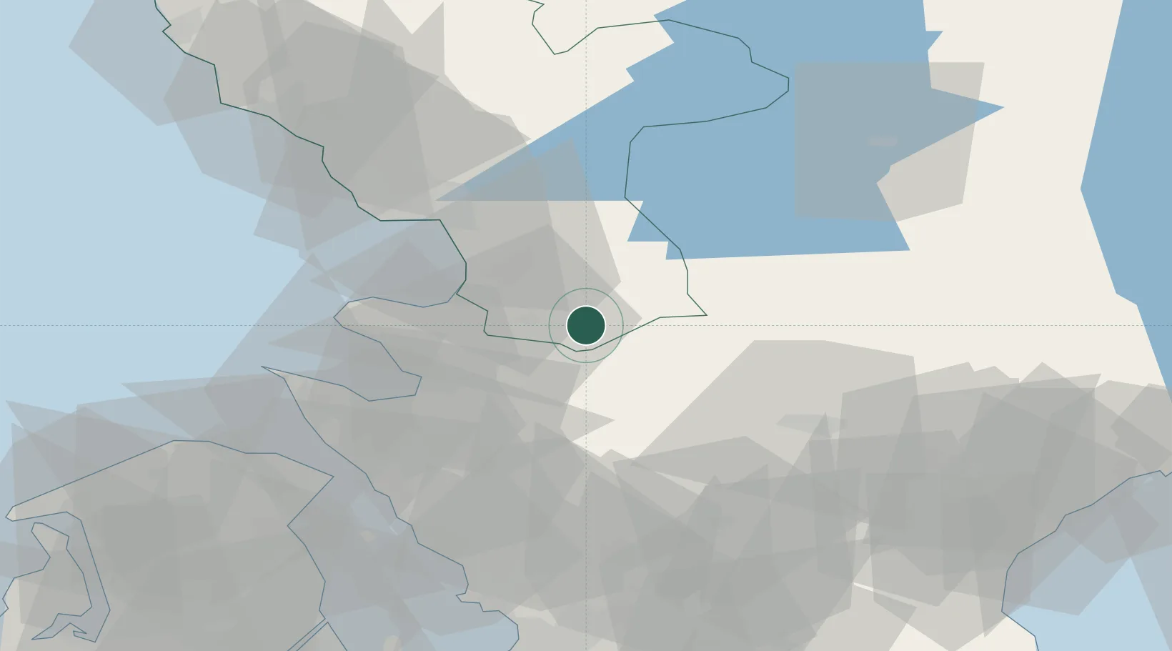
Nearby Logistics Neighbours

Cities
  1. 1Hishult6 km
  2. 2Östra Karup17 km
  3. 3Kvidinge31 km
  4. 4Nyvång36 km
  5. 5Halmstad36 km
Nearest neighbours — logibook spatial index (haversine) over the source coordinates
Ports
  1. 1Halmstad37 km
  2. 2Hoganas47 km
  3. 3Helsingborg52 km
  4. 4Helsingor55 km
  5. 5Landskrona65 km
Nearest neighbours — logibook spatial index (haversine) over the source coordinates
Airports
  1. 1Ängelholm-Helsingborg Airport26 km
  2. 2Ljungbyhed Airfield35 km
  3. 3Halmstad Airport41 km
  4. 4Kristianstad Airport76 km
  5. 5København Vandflyveplads88 km
Nearest neighbours — logibook spatial index (haversine) over the source coordinates
Trade Zones
  1. 1Freeport of Copenhagen- Nordhavn85 km
  2. 2MTS Malmö Transport and Spedition89 km
  3. 3Jönköping Free Zone161 km
  4. 4Gothenburg Boundless Customs Warehouse168 km
  5. 5Swinoujscie Duty Free Zone286 km
Nearest neighbours — logibook spatial index (haversine) over the source coordinates
DatabookThe Record of Consolidated Knowledge
Germany beyond logistics?
Browse databook

All Sources

LocationsUN/LOCODE
UN/LOCODE — free
Portsthe NGA World Port Index
Public domain (US gov)
AirportsOurAirports
Public domain
Trade Zonesthe World Bank SEZ database
CC BY 4.0
Trade ZonesOpen Zone Map
CC BY
← Germany locations