Transport Functions
Port
Rail
Road
Hub Profile
Place type
Provincial seat
Region
Halland
Population
24,099
Time zone
Europe/Stockholm
Elevation
15 m
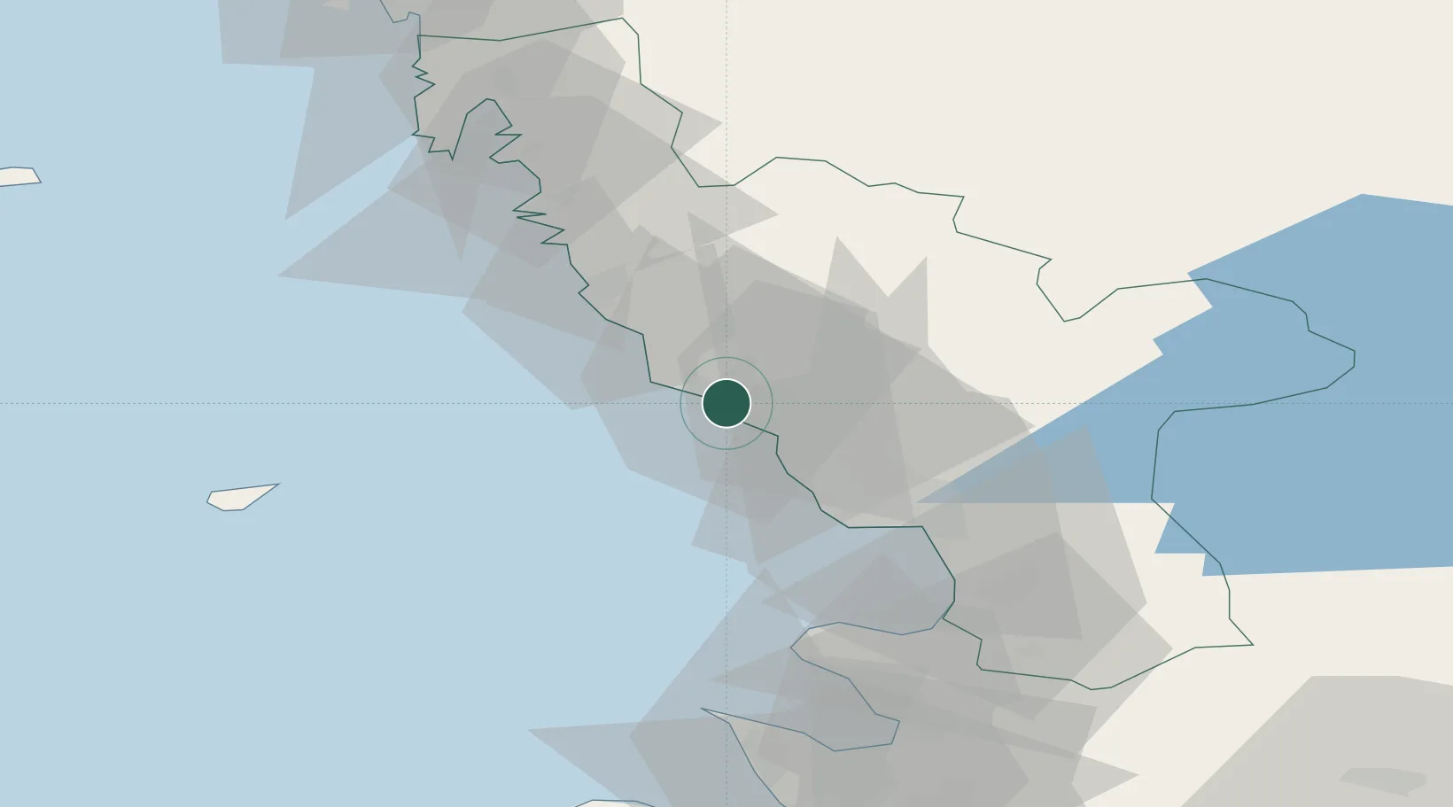
Location
Nearby Logistics Neighbours
Cities
- 1Glommen11 km
- 2Langas12 km
- 3Slöinge12 km
- 4Träslövsläge23 km
- 5Nygård26 km
Ports
- 1Varberg30 km
- 2Halmstad33 km
- 3Nykobing (Mor)41 km
- 4Hoganas76 km
- 5Helsingor95 km
Airports
- 1Halmstad Airport29 km
- 2Anholt Airfield61 km
- 3Ängelholm-Helsingborg Airport69 km
- 4Göteborg Landvetter Airport88 km
- 5Ljungbyhed Airfield99 km
Trade Zones
- 1Gothenburg Boundless Customs Warehouse100 km
- 2Freeport of Copenhagen- Nordhavn130 km
- 3Jönköping Free Zone137 km
- 4MTS Malmö Transport and Spedition147 km
- 5Freeport of Kiel319 km
DatabookThe Record of Consolidated Knowledge
Sweden beyond logistics?