Seaport · Sweden
GavleSEGVX
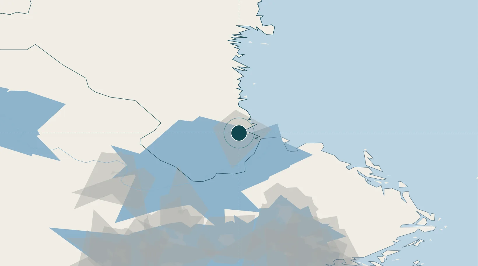
60.6833°, 17.1667°
9.4 m
Channel depth
2
Container terminals
57.0
Port liner connectivity
Channel & Berth Profile
Pilotage, Tugs & Services
Pilotage compulsoryYES
Pilotage availableYES
Pilotage advisableYES
Tug assistanceYES
Potable waterYES
MedicalYES
Garbage disposalYES
Facilities & Capabilities
ContainerYES
Ro-RoNO
Liquid bulkYES
Dry bulkYES
Oil terminalNO
Break bulkYES
Dry dock—
RepairsNO
BunkeringYES
Rail linkYES
Dangerous cargo—
ISPS security—
Harbour Specifications
Harbour size
Small
Harbour type
Coastal (Natural)
Shelter
Good
Water body
Gulf of Bothnia; Baltic Sea; North Atlantic Ocean
Tidal range
1 m
Overhead limit
Yes
Pilotage
Yes
Liner Connectivity
57
PLSCI
Port Liner Shipping Connectivity Index for Gavle, as published by UNCTAD for the latest available quarter. Higher values indicate stronger scheduled liner-shipping integration.
Shown relative to the highest per-port PLSCI in the dataset (1,657.9).
Location
Container Terminals · 2
YILPORT CONTAINER TERMINAL GAVLE
GVXFS YILPORT GAVLE CONTAINERTERMINAL AB
YILPORT TERMINAL GRANUDDEN
GVXGU YILPORT GAVLE AB
Nearby Logistics Neighbours
Ports
- 1Karskar5 km
- 2Skutskar13 km
- 3Norrsundet28 km
- 4Vallvik56 km
- 5Sandarne65 km
Cities
- 1Karskär5 km
- 2Skutskär15 km
- 3Älvkarleby20 km
- 4Norrsundet30 km
- 5Karlholmsbruk31 km
Airports
- 1Gävle Sandviken Airport15 km
- 2Söderhamn Airport64 km
- 3Dala Airport95 km
- 4Stockholm-Arlanda Airport123 km
- 5Stockholm Västerås Airport125 km
Trade Zones
- 1Stockholm Free Zone157 km
- 2Turku Free Zone277 km
- 3Freeport of Hanko329 km
- 4Jönköping Free Zone368 km
- 5Free port of Ventspils442 km
DatabookThe Record of Consolidated Knowledge
Sweden beyond logistics?