UN/LOCODE hub · Sweden
SEKBK

Karlholmsbruk

60.5167°, 17.6167°
1,193
Population
1
Transport functions

Transport Functions

Port
UN/LOCODE

Hub Profile

Place type
Populated place
GeoNames
Region
Uppsala
GeoNames
Population
1,193
GeoNames
Time zone
Europe/Stockholm
GeoNames
Elevation
8 m
GeoNames

Location

Location of SEKBK
Natural Earth 10m (public domain) · Uppsala · SEKBK · 60.52, 17.62GoogleOSMYandex

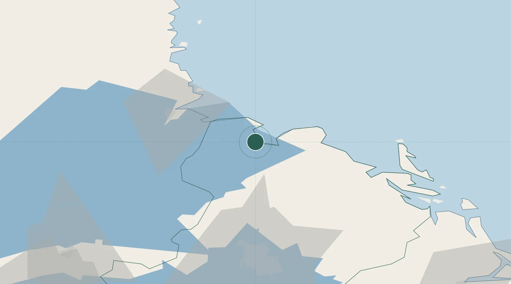
Nearby Logistics Neighbours

Cities
  1. 1Grönö6 km
  2. 2Skärplinge9 km
  3. 3Älvkarleby11 km
  4. 4Skutskär17 km
  5. 5Karskär27 km
Nearest neighbours — logibook spatial index (haversine) over the source coordinates
Ports
  1. 1Skutskar19 km
  2. 2Karskar27 km
  3. 3Gavle31 km
  4. 4Norrsundet52 km
  5. 5Hargshamn59 km
Nearest neighbours — logibook spatial index (haversine) over the source coordinates
Airports
  1. 1Gävle Sandviken Airport37 km
  2. 2Söderhamn Airport87 km
  3. 3Stockholm-Arlanda Airport98 km
  4. 4Dala Airport116 km
  5. 5Stockholm Västerås Airport117 km
Nearest neighbours — logibook spatial index (haversine) over the source coordinates
Trade Zones
  1. 1Stockholm Free Zone133 km
  2. 2Turku Free Zone252 km
  3. 3Freeport of Hanko301 km
  4. 4Jönköping Free Zone366 km
  5. 5Free port of Ventspils412 km
Nearest neighbours — logibook spatial index (haversine) over the source coordinates
DatabookThe Record of Consolidated Knowledge
Sweden beyond logistics?
Browse databook

All Sources

LocationsUN/LOCODE
UN/LOCODE — free
LocationsGeoNames
CC BY 4.0
Portsthe NGA World Port Index
Public domain (US gov)
AirportsOurAirports
Public domain
Trade Zonesthe World Bank SEZ database
CC BY 4.0
Trade ZonesOpen Zone Map
CC BY
← Sweden locations