UN/LOCODE hub · Sweden
SESZC

Älvkarleby

60.5667°, 17.4500°
1
Transport functions

Transport Functions

Multimodal
UN/LOCODE

Hub Profile

Region
C
GeoNames

Location

Location of SESZC
Natural Earth 10m (public domain) · C · SESZC · 60.57, 17.45GoogleOSMYandex

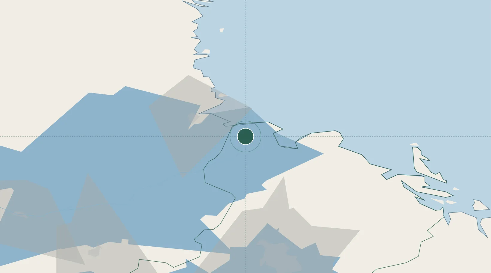
Nearby Logistics Neighbours

Cities
  1. 1Skutskär8 km
  2. 2Karlholmsbruk11 km
  3. 3Karskär16 km
  4. 4Grönö17 km
  5. 5Gävle18 km
Nearest neighbours — logibook spatial index (haversine) over the source coordinates
Ports
  1. 1Skutskar10 km
  2. 2Karskar16 km
  3. 3Gavle20 km
  4. 4Norrsundet44 km
  5. 5Hargshamn70 km
Nearest neighbours — logibook spatial index (haversine) over the source coordinates
Airports
  1. 1Gävle Sandviken Airport27 km
  2. 2Söderhamn Airport80 km
  3. 3Stockholm-Arlanda Airport106 km
  4. 4Dala Airport107 km
  5. 5Stockholm Västerås Airport118 km
Nearest neighbours — logibook spatial index (haversine) over the source coordinates
Trade Zones
  1. 1Stockholm Free Zone140 km
  2. 2Turku Free Zone261 km
  3. 3Freeport of Hanko311 km
  4. 4Jönköping Free Zone365 km
  5. 5Free port of Ventspils422 km
Nearest neighbours — logibook spatial index (haversine) over the source coordinates
DatabookThe Record of Consolidated Knowledge
Sweden beyond logistics?
Browse databook

All Sources

LocationsUN/LOCODE
UN/LOCODE — free
Portsthe NGA World Port Index
Public domain (US gov)
AirportsOurAirports
Public domain
Trade Zonesthe World Bank SEZ database
CC BY 4.0
Trade ZonesOpen Zone Map
CC BY
← Sweden locations