UN/LOCODE hub · Sweden
SESSR

Skutskär

60.6333°, 17.4167°
3
Transport functions

Transport Functions

Port
Rail
Road
Skutskär is also a profiled seaport →
UN/LOCODE

Hub Profile

Region
C
GeoNames

Location

Location of SESSR
Natural Earth 10m (public domain) · C · SESSR · 60.63, 17.42GoogleOSMYandex

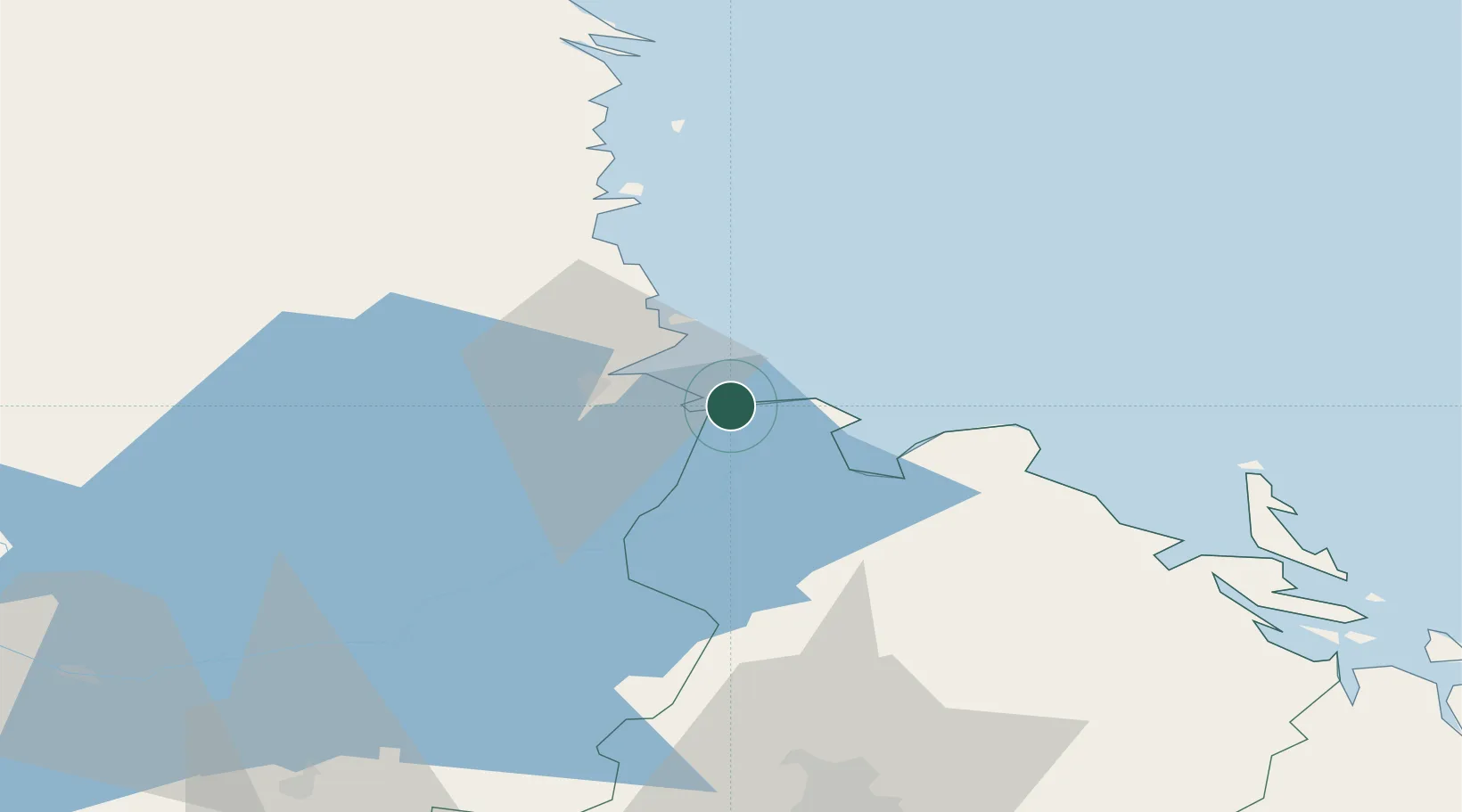
Nearby Logistics Neighbours

Cities
  1. 1Älvkarleby8 km
  2. 2Karskär10 km
  3. 3Gävle12 km
  4. 4Karlholmsbruk17 km
  5. 5Grönö22 km
Nearest neighbours — logibook spatial index (haversine) over the source coordinates
Ports
  1. 1Karskar10 km
  2. 2Gavle15 km
  3. 3Norrsundet36 km
  4. 4Vallvik63 km
  5. 5Sandarne72 km
Nearest neighbours — logibook spatial index (haversine) over the source coordinates
Airports
  1. 1Gävle Sandviken Airport26 km
  2. 2Söderhamn Airport72 km
  3. 3Dala Airport107 km
  4. 4Stockholm-Arlanda Airport113 km
  5. 5Stockholm Västerås Airport124 km
Nearest neighbours — logibook spatial index (haversine) over the source coordinates
Trade Zones
  1. 1Stockholm Free Zone148 km
  2. 2Turku Free Zone263 km
  3. 3Freeport of Hanko315 km
  4. 4Jönköping Free Zone371 km
  5. 5Free port of Ventspils429 km
Nearest neighbours — logibook spatial index (haversine) over the source coordinates
DatabookThe Record of Consolidated Knowledge
Sweden beyond logistics?
Browse databook

All Sources

LocationsUN/LOCODE
UN/LOCODE — free
Portsthe NGA World Port Index
Public domain (US gov)
AirportsOurAirports
Public domain
Trade Zonesthe World Bank SEZ database
CC BY 4.0
Trade ZonesOpen Zone Map
CC BY
← Sweden locations