Transport Functions
Port
Hub Profile
Place type
Populated place
Region
Gävleborg
Time zone
Europe/Stockholm
Elevation
1 m
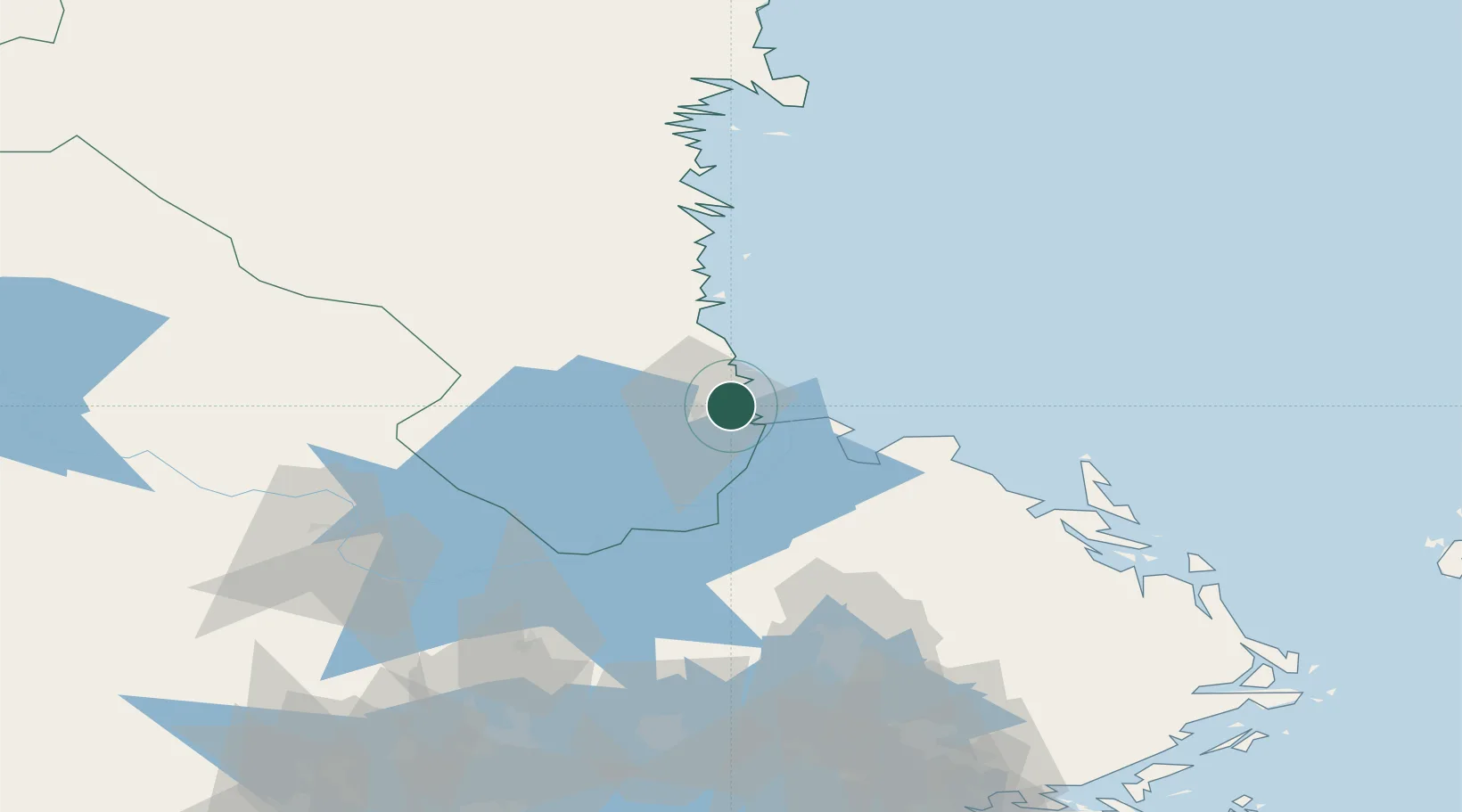
Location
Nearby Logistics Neighbours
Cities
- 1Gävle2 km
- 2Skutskär10 km
- 3Älvkarleby16 km
- 4Karlholmsbruk27 km
- 5Norrsundet31 km
Ports
- 1Gavle5 km
- 2Skutskar8 km
- 3Norrsundet28 km
- 4Vallvik56 km
- 5Sandarne65 km
Airports
- 1Gävle Sandviken Airport20 km
- 2Söderhamn Airport65 km
- 3Dala Airport100 km
- 4Stockholm-Arlanda Airport121 km
- 5Stockholm Västerås Airport127 km
Trade Zones
- 1Stockholm Free Zone156 km
- 2Turku Free Zone272 km
- 3Freeport of Hanko324 km
- 4Jönköping Free Zone371 km
- 5Free port of Ventspils439 km
DatabookThe Record of Consolidated Knowledge
Sweden beyond logistics?