Transport Functions
Port
Rail
Road
Hub Profile
Place type
Populated place
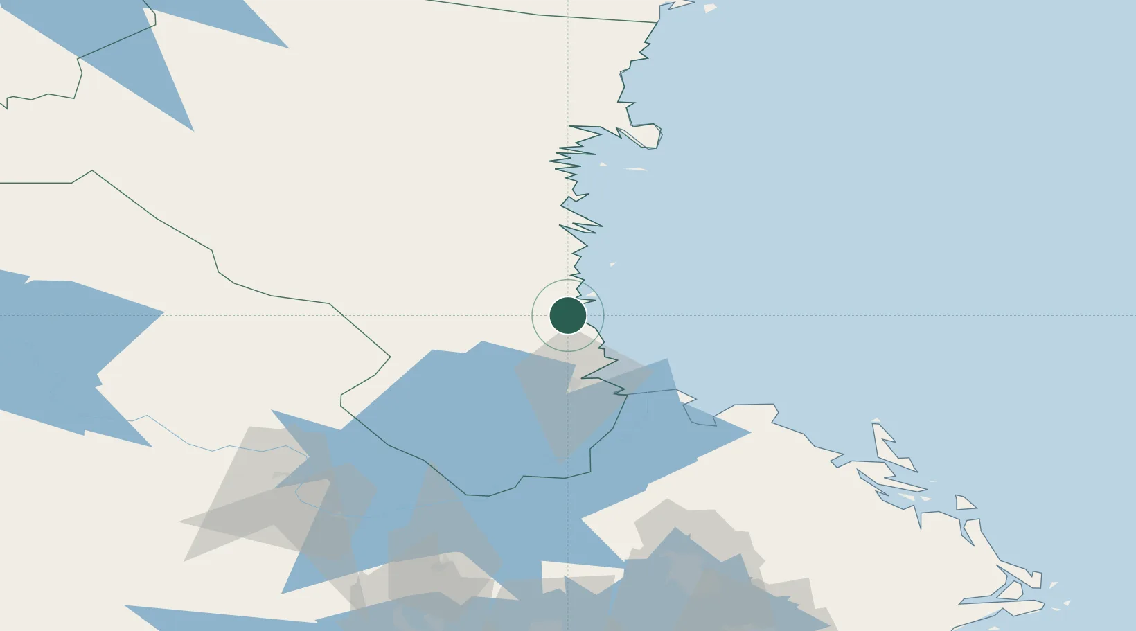
Region
Gävleborg
Population
966
Time zone
Europe/Stockholm
Elevation
2 m
Location
Nearby Logistics Neighbours
Airports
- 1Söderhamn Airport35 km
- 2Gävle Sandviken Airport41 km
- 3Dala Airport106 km
- 4Mora Airport142 km
- 5Stockholm-Arlanda Airport151 km
Trade Zones
- 1Stockholm Free Zone186 km
- 2Turku Free Zone282 km
- 3Freeport of Hanko340 km
- 4Jönköping Free Zone394 km
- 5Free port of Ventspils467 km
DatabookThe Record of Consolidated Knowledge
Sweden beyond logistics?