UN/LOCODE hub · Sweden
SEGVX

Gävle

60.6894°, 17.2272°
2
Transport functions
2
Container terminals

Transport Functions

Port
Airport
Gävle is also a profiled seaport →
UN/LOCODE

Hub Profile

Region
X
GeoNames
Logistics facilities
4
UN/LOCODE
Container terminals
2
UN/LOCODE

Location

Location of SEGVX
Natural Earth 10m (public domain) · X · SEGVX · 60.69, 17.23GoogleOSMYandex

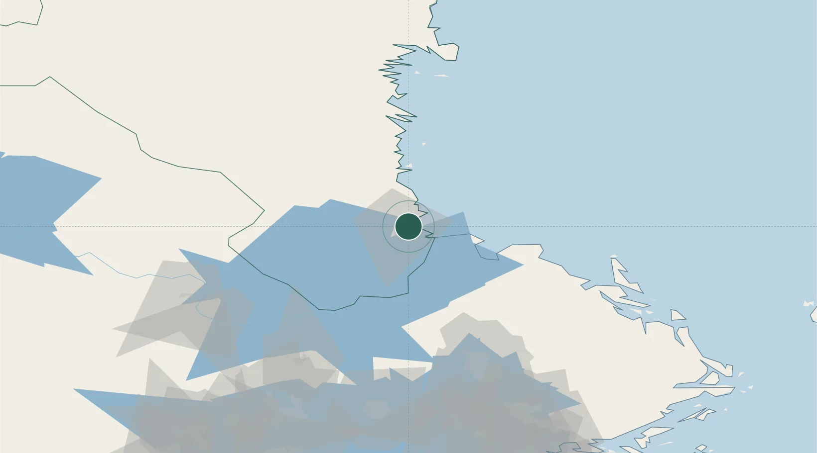
Nearby Logistics Neighbours

Cities
  1. 1Karskär2 km
  2. 2Skutskär12 km
  3. 3Älvkarleby18 km
  4. 4Karlholmsbruk29 km
  5. 5Norrsundet29 km
Nearest neighbours — logibook spatial index (haversine) over the source coordinates
Ports
  1. 1Karskar2 km
  2. 2Skutskar10 km
  3. 3Norrsundet27 km
  4. 4Vallvik55 km
  5. 5Sandarne64 km
Nearest neighbours — logibook spatial index (haversine) over the source coordinates
Airports
  1. 1Gävle Sandviken Airport18 km
  2. 2Söderhamn Airport64 km
  3. 3Dala Airport98 km
  4. 4Stockholm-Arlanda Airport122 km
  5. 5Stockholm Västerås Airport127 km
Nearest neighbours — logibook spatial index (haversine) over the source coordinates
Trade Zones
  1. 1Stockholm Free Zone157 km
  2. 2Turku Free Zone274 km
  3. 3Freeport of Hanko326 km
  4. 4Jönköping Free Zone371 km
  5. 5Free port of Ventspils440 km
Nearest neighbours — logibook spatial index (haversine) over the source coordinates
DatabookThe Record of Consolidated Knowledge
Sweden beyond logistics?
Browse databook

All Sources

LocationsUN/LOCODE
UN/LOCODE — free
Portsthe NGA World Port Index
Public domain (US gov)
AirportsOurAirports
Public domain
Trade Zonesthe World Bank SEZ database
CC BY 4.0
Trade ZonesOpen Zone Map
CC BY
← Sweden locations