Transport Functions
Port
Rail
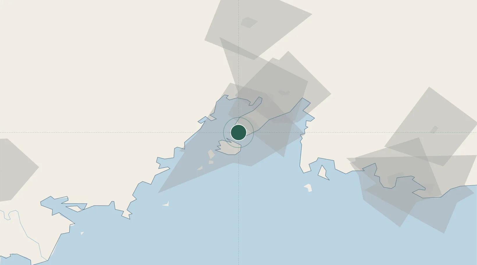
Hub Profile
Place type
Regional capital
Region
Primorye
Population
604,901
Time zone
Asia/Vladivostok
Elevation
40 m
Logistics facilities
1
Location
Nearby Logistics Neighbours
Cities
- 1Vostokmorservice4 km
- 2Fish Port Terminal4 km
- 3Vityaz82 km
- 4Zarubino86 km
- 5Nakhodka86 km
Ports
- 1Vladivostok2 km
- 2Slavyanka50 km
- 3Zarubino85 km
- 4Nakhodka87 km
- 5Pos'yet103 km
Airports
- 1Vladivostok International Airport38 km
- 2Vozdvizhenka Air Base90 km
- 3Chernigovka Air Base145 km
- 4Chuguyevka Air Base192 km
- 5Yanji Chaoyangchuan Airport201 km
Trade Zones
DatabookThe Record of Consolidated Knowledge
Russia beyond logistics?