UN/LOCODE hub · Bahrain
BHAHD

Al Hidd

26.2572°, 50.6680°
4
Transport functions

Transport Functions

Port
Road
Multimodal
Fixed Transport
UN/LOCODE

Hub Profile

Region
15
GeoNames
Logistics facilities
1
UN/LOCODE

Location

Location of BHAHD
Natural Earth 10m (public domain) · 15 · BHAHD · 26.26, 50.67GoogleOSMYandex

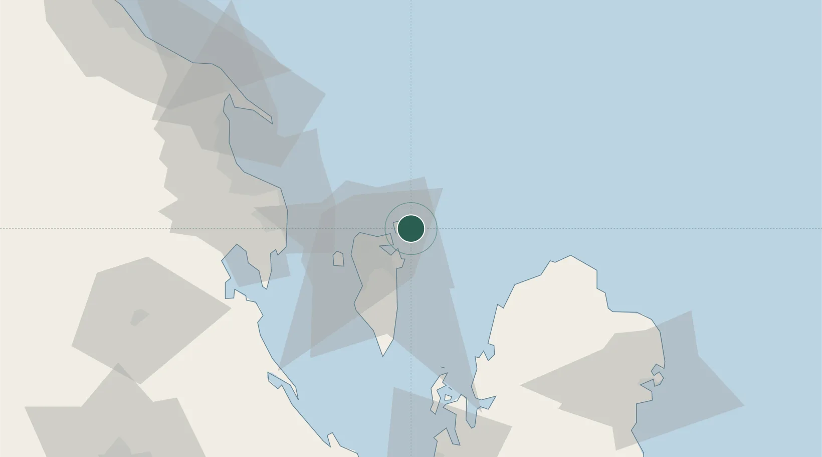
Nearby Logistics Neighbours

Cities
  1. 1Al Muharraq7 km
  2. 2Khalifa Bin Salman Port8 km
  3. 3Mina Sulman Port8 km
  4. 4Adliya10 km
  5. 5Al Manamah11 km
Nearest neighbours — logibook spatial index (haversine) over the source coordinates
Ports
  1. 1Mina Salman7 km
  2. 2Khalifa Bin Salman8 km
  3. 3Al Manamah9 km
  4. 4Sitrah10 km
  5. 5Dammam54 km
Nearest neighbours — logibook spatial index (haversine) over the source coordinates
Airports
  1. 1Bahrain International Airport3 km
  2. 2Sheik Isa Air Base39 km
  3. 3King Abdulaziz Air Base52 km
  4. 4Ras Tanura Airport82 km
  5. 5King Fahd International Airport90 km
Nearest neighbours — logibook spatial index (haversine) over the source coordinates
Trade Zones
  1. 1Bahrain International Investment Park4 km
  2. 2Bahrain Logistics Zone4 km
  3. 3Bahrain International Airport4 km
  4. 4Bahrain Investment Wharf (BIW)5 km
  5. 5Sheikh Khalifa Bin Salman Port (KBSP)9 km
Nearest neighbours — logibook spatial index (haversine) over the source coordinates
DatabookThe Record of Consolidated Knowledge
Bahrain beyond logistics?
Browse databook

All Sources

LocationsUN/LOCODE
UN/LOCODE — free
Portsthe NGA World Port Index
Public domain (US gov)
AirportsOurAirports
Public domain
Trade Zonesthe World Bank SEZ database
CC BY 4.0
Trade ZonesOpen Zone Map
CC BY
← Bahrain locations