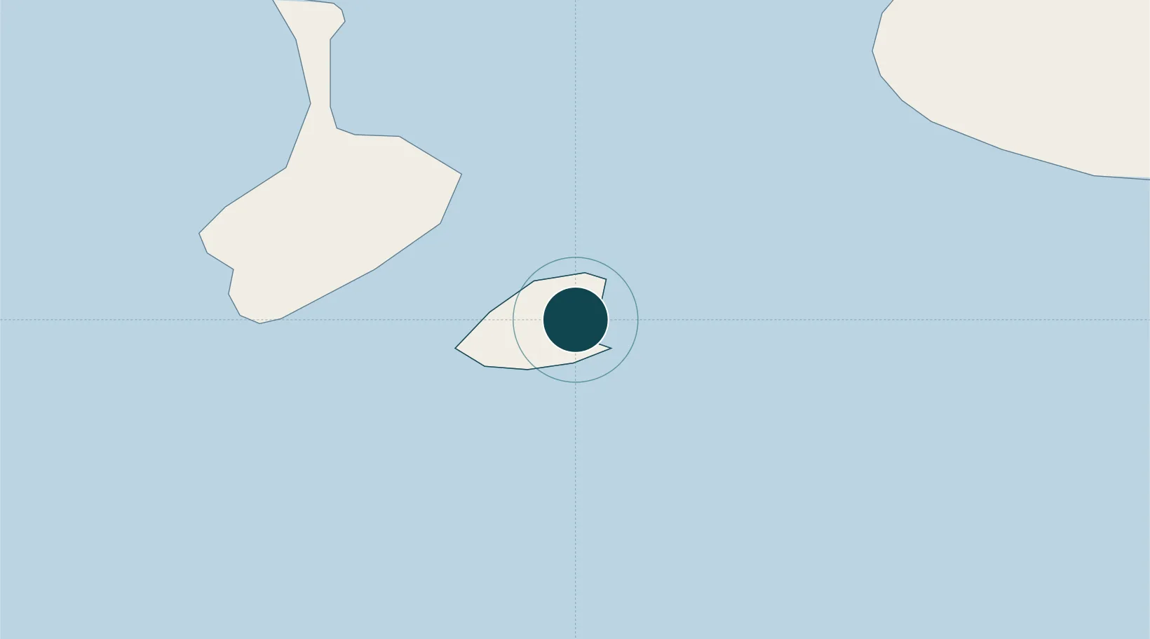
Seaport · St. Pierre & Miquelon
Port De St PierrePMFSP
46.7833°, -56.1667°
7.9 m
Channel depth
15.1
Port liner connectivity
Channel & Berth Profile
Pilotage, Tugs & Services
Pilotage compulsoryYES
Pilotage availableYES
Pilotage advisableYES
Tug assistanceNO
Salvage tugsNO
Shore powerNO
Potable waterYES
Diesel bunkersYES
MedicalYES
Garbage disposalYES
Facilities & Capabilities
Container—
Ro-RoYES
Liquid bulkYES
Dry bulk—
Oil terminal—
Break bulkYES
Dry dock—
RepairsNO
BunkeringYES
Rail link—
Dangerous cargo—
ISPS securityYES
Harbour Specifications
Harbour size
Small
Harbour type
Coastal (Breakwater)
Shelter
Good
Water body
North Atlantic Ocean
Tidal range
1.5 m
Pilotage
Yes
Liner Connectivity
15.1
PLSCI
Port Liner Shipping Connectivity Index for Port De St Pierre, as published by UNCTAD for the latest available quarter. Higher values indicate stronger scheduled liner-shipping integration.
Shown relative to the highest per-port PLSCI in the dataset (1,657.9).
Location
Nearby Logistics Neighbours
Ports
- 1Grand Bank47 km
- 2Burgeo143 km
- 3Argentia175 km
- 4Come By Chance Harbor198 km
- 5Clarenville227 km
Cities
- 1Fortune40 km
- 2Grand Bank46 km
- 3Saint-Lawrence60 km
- 4Burin80 km
- 5Harbour Breton82 km
Airports
Trade Zones
- 1Crossroads Business Park268 km
- 2Cape Breton Regional Municipality Foreign Trade Zone358 km
- 3Halifax Gateway622 km
- 4Saint John782 km
- 5FTZ No. 179 Madawaska923 km
DatabookThe Record of Consolidated Knowledge
St. Pierre & Miquelon beyond logistics?