UN/LOCODE hub · Canada
CASLW

Saint-Lawrence

46.9000°, -55.4000°
2
Transport functions

Transport Functions

Port
Road
UN/LOCODE

Hub Profile

Region
NL
GeoNames

Location

Location of CASLW
Natural Earth 10m (public domain) · NL · CASLW · 46.90, -55.40GoogleOSMYandex

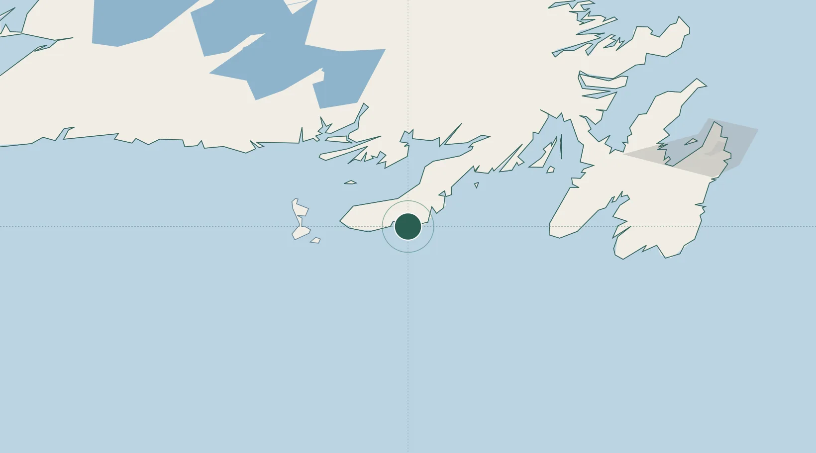
Nearby Logistics Neighbours

Cities
  1. 1Burin23 km
  2. 2Marystown35 km
  3. 3Grand Bank37 km
  4. 4Fortune38 km
  5. 5Saint-Pierre60 km
Nearest neighbours — logibook spatial index (haversine) over the source coordinates
Ports
  1. 1Grand Bank35 km
  2. 2Port De St Pierre60 km
  3. 3Argentia116 km
  4. 4Come By Chance Harbor145 km
  5. 5Clarenville178 km
Nearest neighbours — logibook spatial index (haversine) over the source coordinates
Airports
  1. 1Saint-Pierre Pointe-Blanche Airport61 km
  2. 2Miquelon Airport78 km
  3. 3St. John's International Airport215 km
  4. 4Gander International Airport235 km
  5. 5Deer Lake Airport296 km
Nearest neighbours — logibook spatial index (haversine) over the source coordinates
Trade Zones
  1. 1Crossroads Business Park236 km
  2. 2Cape Breton Regional Municipality Foreign Trade Zone417 km
  3. 3Halifax Gateway682 km
  4. 4Saint John842 km
  5. 5FTZ No. 179 Madawaska980 km
Nearest neighbours — logibook spatial index (haversine) over the source coordinates
DatabookThe Record of Consolidated Knowledge
Canada beyond logistics?
Browse databook

All Sources

LocationsUN/LOCODE
UN/LOCODE — free
Portsthe NGA World Port Index
Public domain (US gov)
AirportsOurAirports
Public domain
Trade Zonesthe World Bank SEZ database
CC BY 4.0
Trade ZonesOpen Zone Map
CC BY
← Canada locations