Transport Functions
Port
Road
Hub Profile
Place type
Populated place
Region
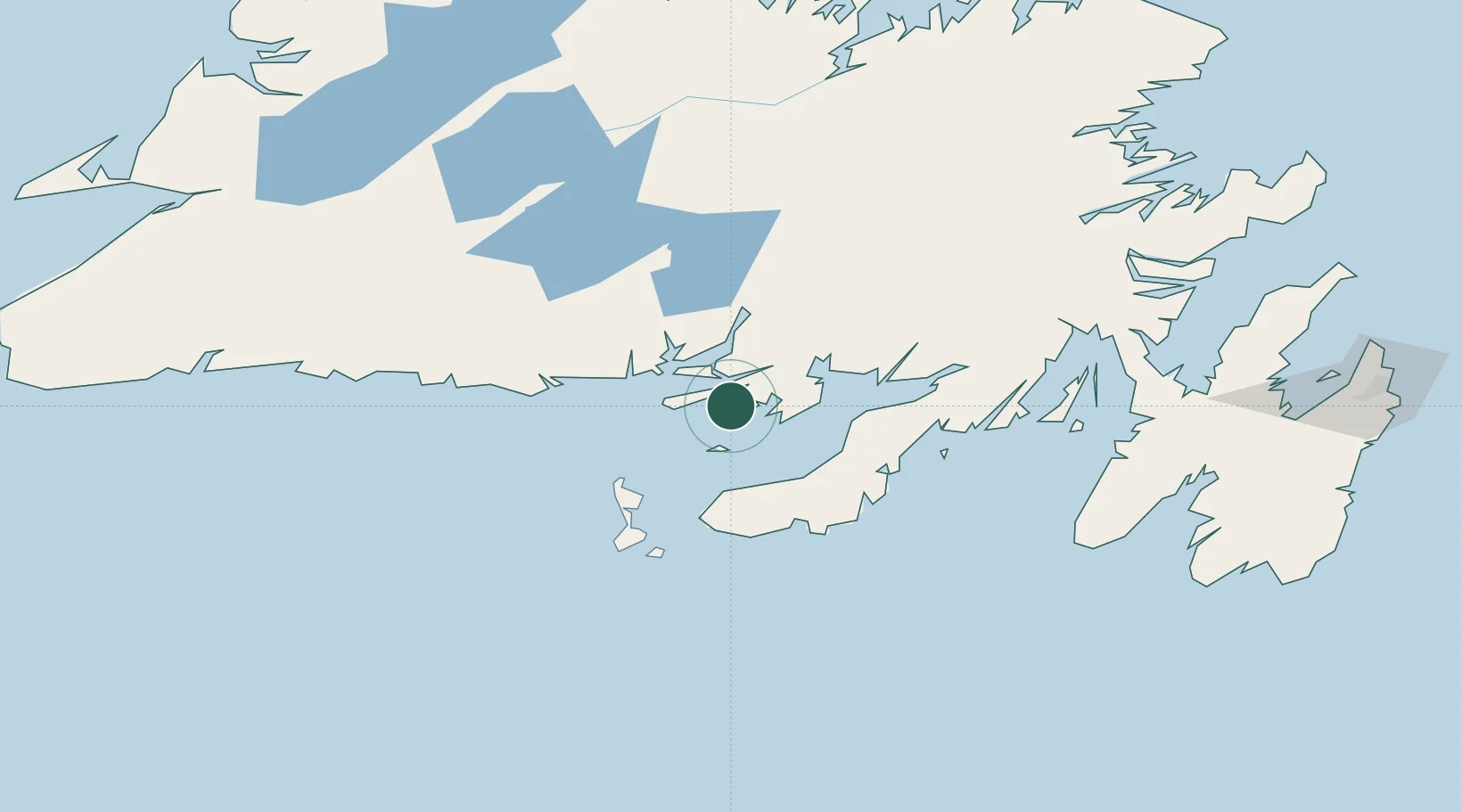
Newfoundland and Labrador
Population
1,898
Time zone
America/St_Johns
Elevation
1 m
Location
Nearby Logistics Neighbours
Cities
- 1Grand Bank43 km
- 2Fortune46 km
- 3Long Pond58 km
- 4Marystown61 km
- 5Burin69 km
Ports
- 1Grand Bank43 km
- 2Port De St Pierre82 km
- 3Burgeo133 km
- 4Come By Chance Harbor141 km
- 5Argentia141 km
Airports
- 1Miquelon Airport60 km
- 2Saint-Pierre Pointe-Blanche Airport84 km
- 3Gander International Airport187 km
- 4Deer Lake Airport224 km
- 5St. John's International Airport232 km
Trade Zones
- 1Crossroads Business Park188 km
- 2Cape Breton Regional Municipality Foreign Trade Zone402 km
- 3Halifax Gateway675 km
- 4Saint John822 km
- 5FTZ No. 179 Madawaska941 km
DatabookThe Record of Consolidated Knowledge
Canada beyond logistics?