Transport Functions
Port
Road
Hub Profile
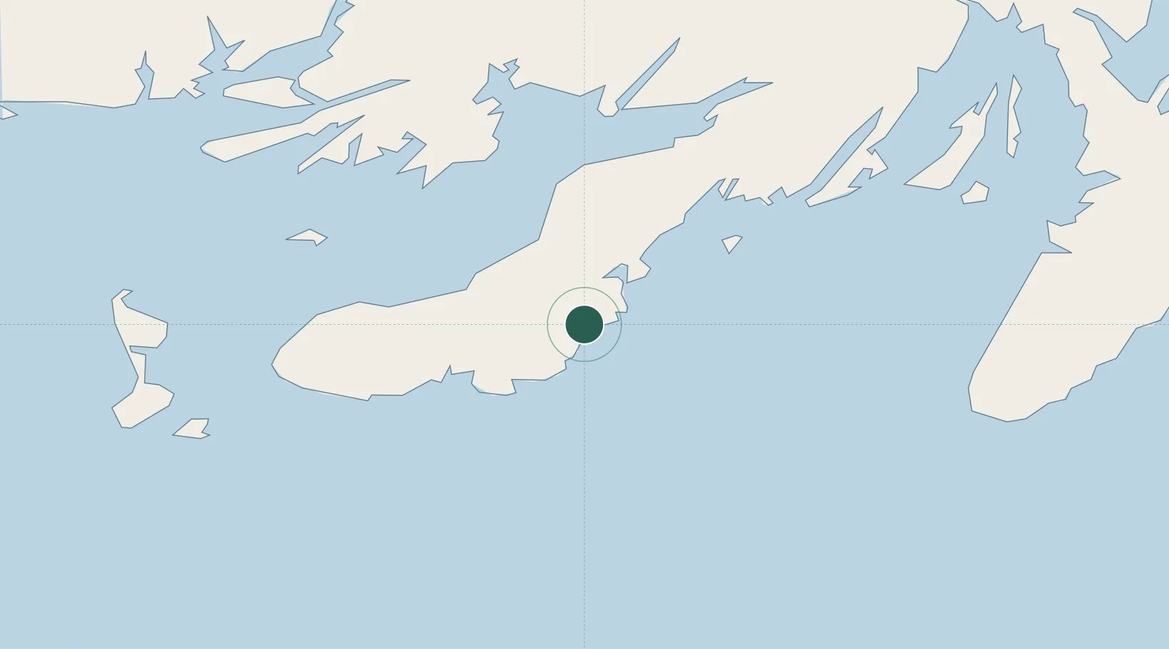
Place type
Populated place
Region
Newfoundland and Labrador
Population
2,237
Time zone
America/St_Johns
Elevation
28 m
Location
Nearby Logistics Neighbours
Cities
- 1Marystown13 km
- 2Saint-Lawrence23 km
- 3Grand Bank46 km
- 4Fortune49 km
- 5Harbour Breton69 km
Ports
- 1Grand Bank43 km
- 2Port De St Pierre80 km
- 3Argentia95 km
- 4Come By Chance Harbor121 km
- 5Clarenville155 km
Airports
- 1Saint-Pierre Pointe-Blanche Airport82 km
- 2Miquelon Airport91 km
- 3St. John's International Airport194 km
- 4Gander International Airport215 km
- 5Deer Lake Airport291 km
Trade Zones
- 1Crossroads Business Park216 km
- 2Cape Breton Regional Municipality Foreign Trade Zone436 km
- 3Halifax Gateway703 km
- 4Saint John860 km
- 5FTZ No. 179 Madawaska994 km
DatabookThe Record of Consolidated Knowledge
Canada beyond logistics?