Transport Functions
Port
Road
Hub Profile
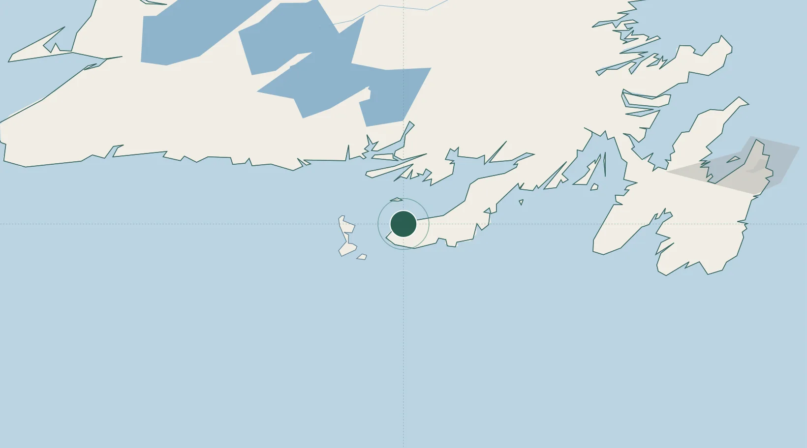
Place type
Populated place
Region
Newfoundland and Labrador
Population
1,285
Time zone
America/St_Johns
Elevation
7 m
Location
Nearby Logistics Neighbours
Cities
- 1Grand Bank5 km
- 2Saint-Lawrence38 km
- 3Saint-Pierre42 km
- 4Harbour Breton46 km
- 5Burin49 km
Ports
- 1Grand Bank7 km
- 2Port De St Pierre40 km
- 3Argentia142 km
- 4Burgeo147 km
- 5Come By Chance Harbor159 km
Airports
Trade Zones
- 1Crossroads Business Park229 km
- 2Cape Breton Regional Municipality Foreign Trade Zone389 km
- 3Halifax Gateway657 km
- 4Saint John812 km
- 5FTZ No. 179 Madawaska945 km
DatabookThe Record of Consolidated Knowledge
Canada beyond logistics?