Transport Functions
Port
Road
Hub Profile
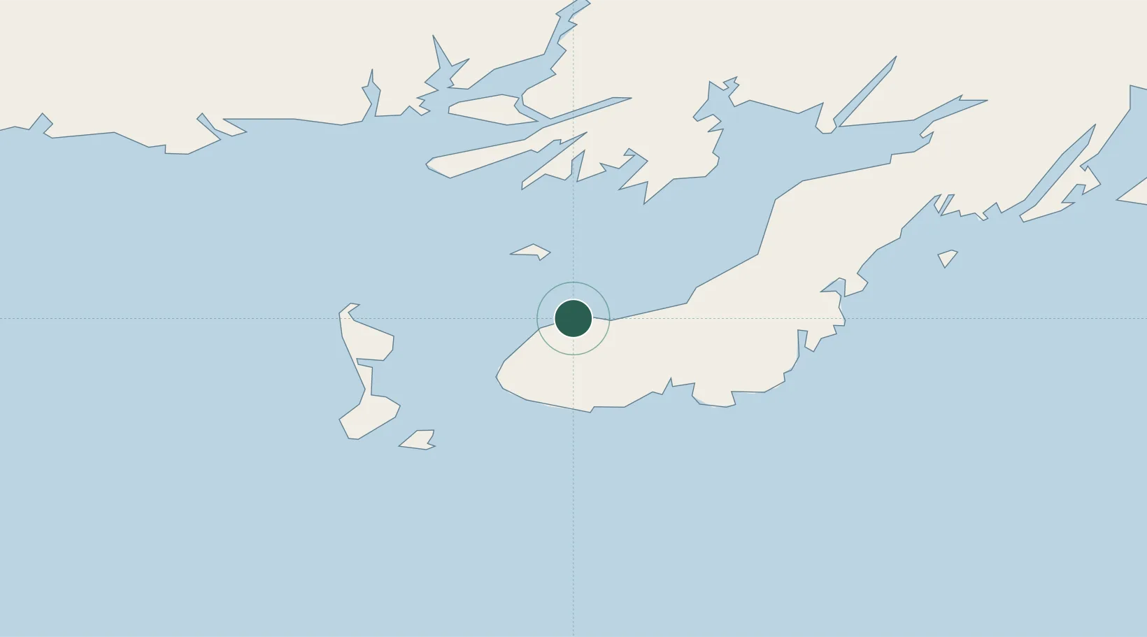
Place type
Populated place
Region
Newfoundland and Labrador
Population
4,623
Time zone
America/St_Johns
Elevation
5 m
Location
Nearby Logistics Neighbours
Cities
- 1Fortune5 km
- 2Saint-Lawrence37 km
- 3Harbour Breton43 km
- 4Burin46 km
- 5Saint-Pierre47 km
Ports
- 1Port De St Pierre46 km
- 2Argentia138 km
- 3Burgeo148 km
- 4Come By Chance Harbor154 km
- 5Clarenville182 km
Airports
Trade Zones
- 1Crossroads Business Park224 km
- 2Cape Breton Regional Municipality Foreign Trade Zone393 km
- 3Halifax Gateway662 km
- 4Saint John817 km
- 5FTZ No. 179 Madawaska948 km
DatabookThe Record of Consolidated Knowledge
Canada beyond logistics?