UN/LOCODE hub · St. Pierre & Miquelon
PMFSP
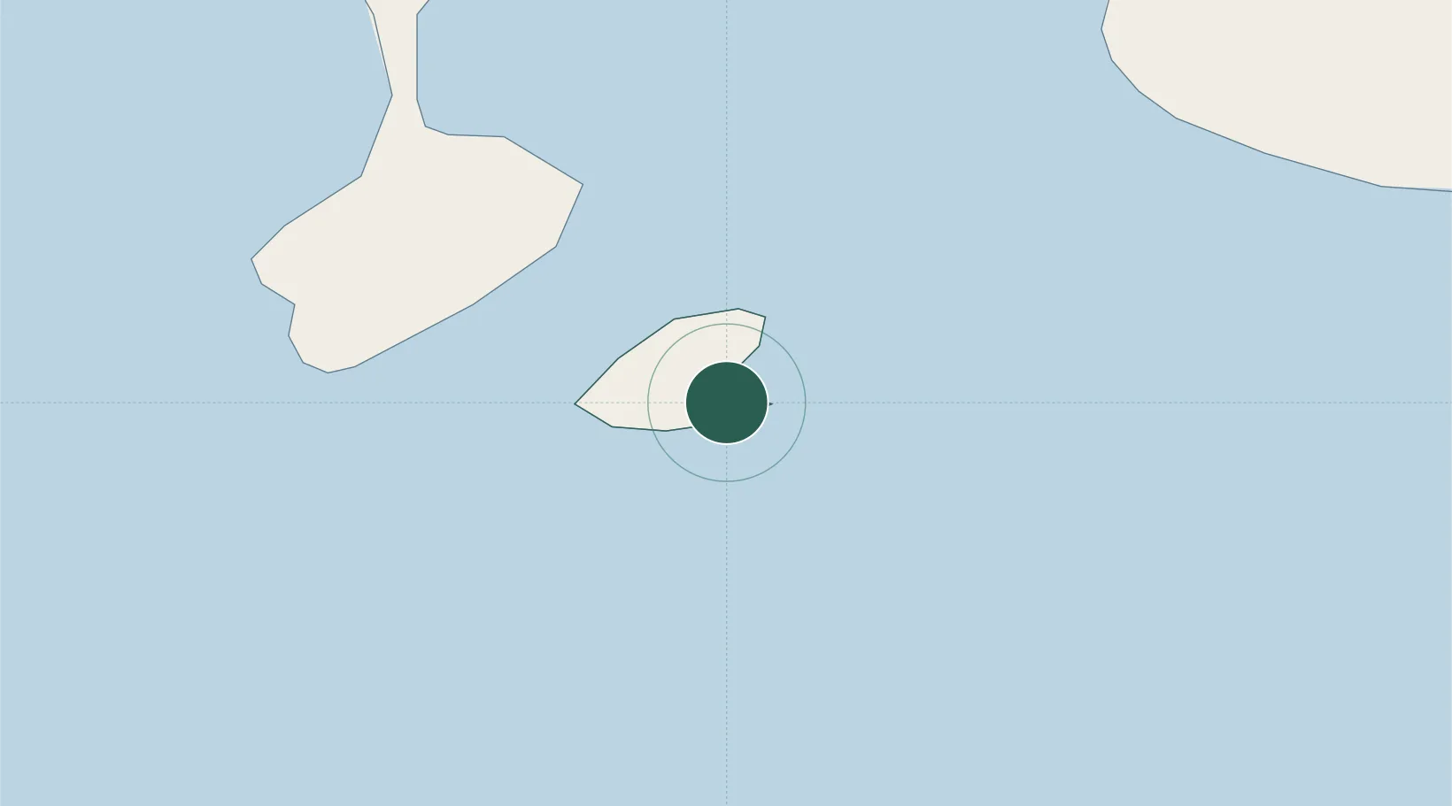
Saint-Pierre
46.7667°, -56.1667°
6,200
Population
3
Transport functions
Transport Functions
Port
Airport
Postal
Hub Profile
Place type
National capital
Region
Saint-Pierre
Population
6,200
Time zone
America/Miquelon
Elevation
30 m
Location
Nearby Logistics Neighbours
Cities
- 1Fortune42 km
- 2Grand Bank47 km
- 3Saint-Lawrence60 km
- 4Burin81 km
- 5Harbour Breton84 km
Ports
- 1Grand Bank49 km
- 2Burgeo144 km
- 3Argentia176 km
- 4Come By Chance Harbor199 km
- 5Clarenville228 km
Airports
Trade Zones
- 1Crossroads Business Park270 km
- 2Cape Breton Regional Municipality Foreign Trade Zone357 km
- 3Halifax Gateway622 km
- 4Saint John782 km
- 5FTZ No. 179 Madawaska924 km
DatabookThe Record of Consolidated Knowledge
St. Pierre & Miquelon beyond logistics?