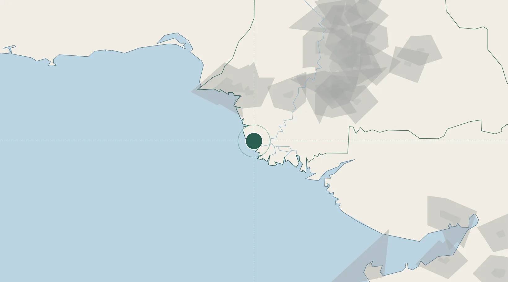
UN/LOCODE hub · Pakistan
PKKBA

Keti Bandar

24.1333°, 67.4333°
2,934
Population
1
Transport functions

Transport Functions

Port
UN/LOCODE

Hub Profile

Place type
Populated place
GeoNames
Region
Sindh
GeoNames
Population
2,934
GeoNames
Time zone
Asia/Karachi
GeoNames
Elevation
3 m
GeoNames

Location

Location of PKKBA
Natural Earth 10m (public domain) · Sindh · PKKBA · 24.13, 67.43GoogleOSMYandex

Nearby Logistics Neighbours

Cities
  1. 1Muhammad Bin Qasim/Karachi73 km
  2. 2Kiamari90 km
  3. 3Karachi90 km
  4. 4Karachi Freight Terminal91 km
  5. 5Karachi Container Terminal91 km
Nearest neighbours — logibook spatial index (haversine) over the source coordinates
Ports
  1. 1Muhamamad Bin Qasim71 km
  2. 2Karachi85 km
  3. 3Mandvi243 km
  4. 4Okha250 km
  5. 5Mundra280 km
Nearest neighbours — logibook spatial index (haversine) over the source coordinates
Airports
  1. 1Faisal Air Base88 km
  2. 2Jinnah International Airport90 km
  3. 3Masroor Air Base98 km
  4. 4Hyderabad Airport162 km
  5. 5Bhuj Airport246 km
Nearest neighbours — logibook spatial index (haversine) over the source coordinates
Trade Zones
  1. 1China Special Economic Zone Dhabeji77 km
  2. 2Industrial Park Pakistan Steel Mills Port Qasim77 km
  3. 3Al-Tuwairqi Steel Mill Export Processing Zone77 km
  4. 4Karachi Export Processing Zone80 km
  5. 5Karachi Export Processing Zone80 km
Nearest neighbours — logibook spatial index (haversine) over the source coordinates
DatabookThe Record of Consolidated Knowledge
Pakistan beyond logistics?
Browse databook

All Sources

LocationsUN/LOCODE
UN/LOCODE — free
LocationsGeoNames
CC BY 4.0
Portsthe NGA World Port Index
Public domain (US gov)
AirportsOurAirports
Public domain
Trade Zonesthe World Bank SEZ database
CC BY 4.0
Trade ZonesOpen Zone Map
CC BY
← Pakistan locations