Transport Functions
Port
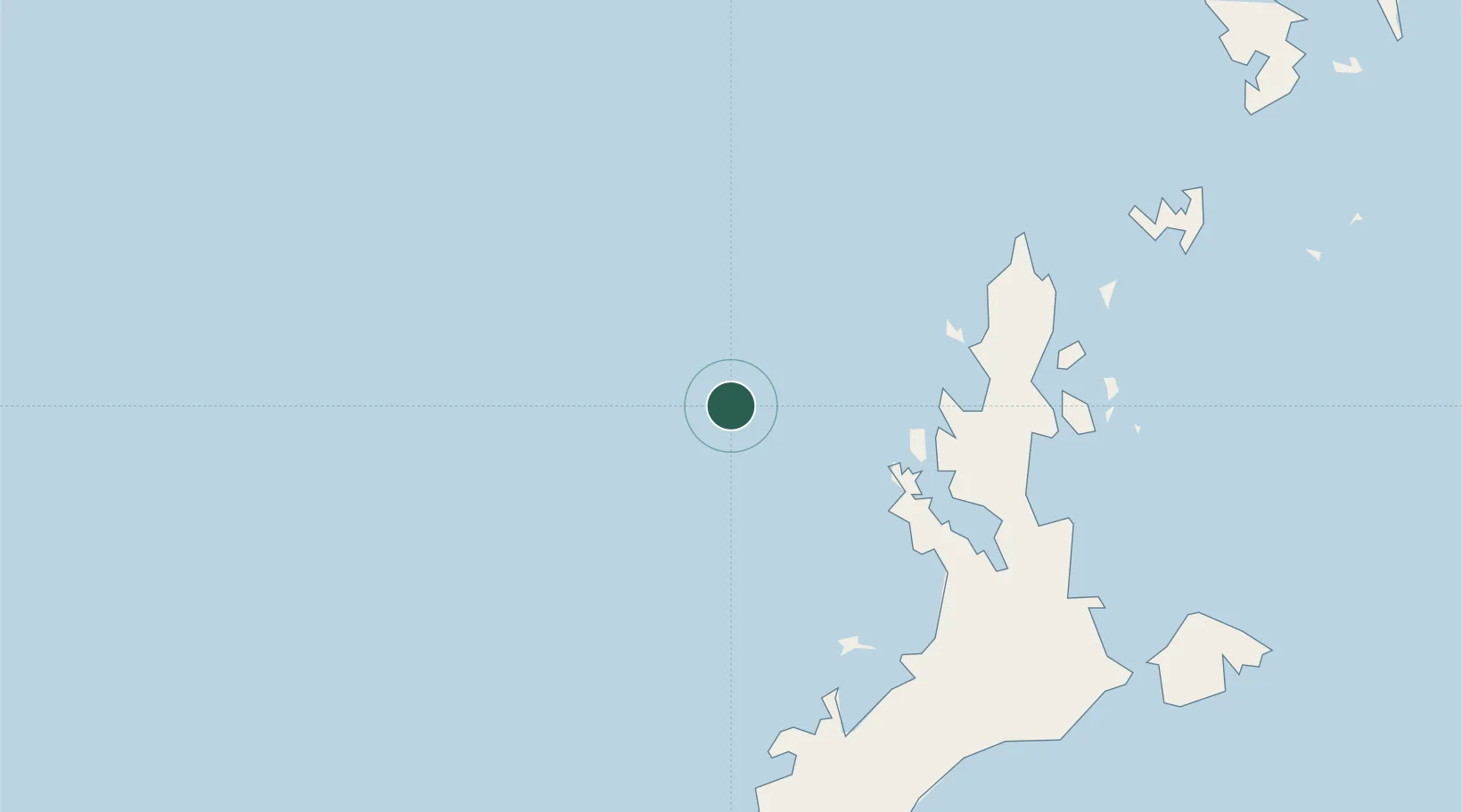
Location
Nearby Logistics Neighbours
Cities
- 1El Nido/Puerto Princesa56 km
- 2Batonbaton218 km
- 3San Jose Apt, Mindoro277 km
- 4Brookes Point, Palawan281 km
- 5Semirara294 km
Ports
- 1Puerto Princesa149 km
- 2Calapan360 km
- 3Batangas City379 km
- 4Nasugbu384 km
- 5Port Romblon403 km
Airports
Trade Zones
DatabookThe Record of Consolidated Knowledge
Philippines beyond logistics?