Seaport · Panama

Puerto ColonPAONX

9.3667°, -79.8833°
12.5 m
Channel depth
1
Container terminals
148.8
Port liner connectivity
Puerto Colon is also a UN/LOCODE logistics hub →

Channel & Berth Profile

SEA LEVEL (CD)CHANNEL BEDChannel · 12.5 mCargo pier · 12.5 m
NGA World Port Index

Pilotage, Tugs & Services

Pilotage availableYES
Pilotage advisableYES
Local assistanceYES
Tug assistanceYES
Potable waterYES
Diesel bunkersYES
MedicalYES
NGA World Port Index

Facilities & Capabilities

ContainerYES
Ro-RoYES
Liquid bulkYES
Dry bulk
Oil terminalYES
Break bulkYES
Dry dock
Repairs
BunkeringYES
Rail linkYES
Dangerous cargo
ISPS securityYES
NGA World Port Index

Harbour Specifications

Harbour size
Medium
NGA World Port Index
Harbour type
Coastal (Breakwater)
NGA World Port Index
Shelter
Excellent
NGA World Port Index
Water body
Caribbean Sea; North Atlantic Ocean
NGA World Port Index
Overhead limit
No
NGA World Port Index

Liner Connectivity

148.8
PLSCI

Port Liner Shipping Connectivity Index for Puerto Colon, as published by UNCTAD for the latest available quarter. Higher values indicate stronger scheduled liner-shipping integration.

Shown relative to the highest per-port PLSCI in the dataset (1,657.9).
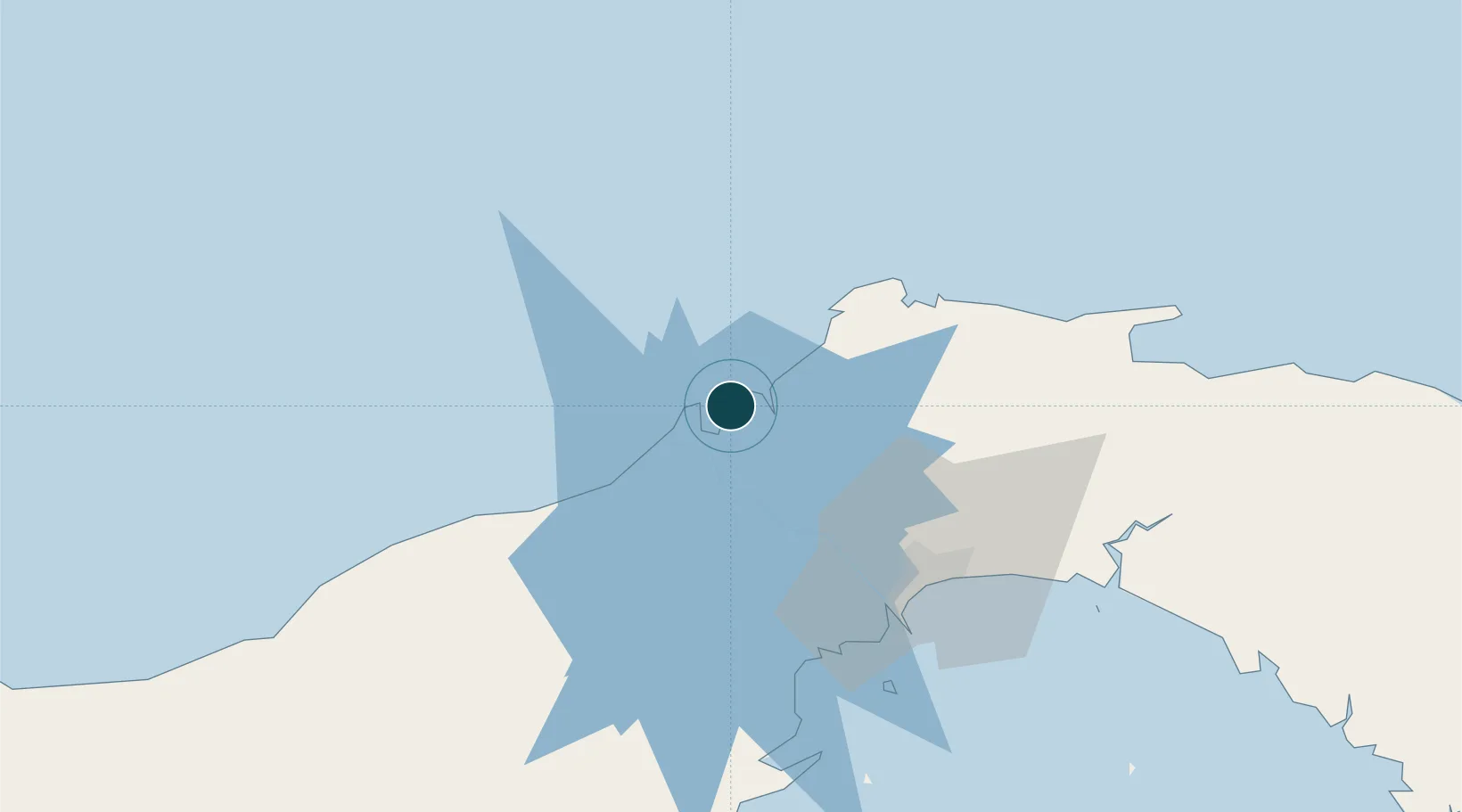
UNCTAD · Port Liner Shipping Connectivity Index

Location

Location of PAONX
Natural Earth 10m (public domain) · Colón · PAONX · 9.37, -79.88GoogleOSMYandex

Container Terminals · 1

COLON CONTAINER TERMINAL (CCT)
CCT COLON CONTAINER TERMINAL S.A.
SMDG Terminal Code List

Nearby Logistics Neighbours

Ports
  1. 1Puerto Cristobal4 km
  2. 2Bahia De Las Minas8 km
  3. 3Balboa58 km
  4. 4Vacamonte61 km
  5. 5Punta Rincon98 km
Nearest neighbours — logibook spatial index (haversine) over the source coordinates
Cities
  1. 1Manzanillo1 km
  2. 2Cristóbal3 km
  3. 3Bahía Las Minas7 km
  4. 4Portobelo33 km
  5. 5La Zanguenga46 km
Nearest neighbours — logibook spatial index (haversine) over the source coordinates
Airports
  1. 1Enrique Adolfo Jimenez Airport2 km
  2. 2Marcos A. Gelabert International Airport57 km
  3. 3Panamá Pacífico International Airport59 km
  4. 4Tocumen International Airport64 km
  5. 5Scarlett Martinez International Airport113 km
Nearest neighbours — logibook spatial index (haversine) over the source coordinates
Trade Zones
  1. 1Colón Free Zone2 km
  2. 2Zona Franca Isla Margarita2 km
  3. 3Zona Franca de Chilibre39 km
  4. 4City of Knowledge (Ciudad del Saber)52 km
  5. 5Zona Franca Panexport54 km
Nearest neighbours — logibook spatial index (haversine) over the source coordinates
DatabookThe Record of Consolidated Knowledge
Panama beyond logistics?
Browse databook

All Sources

Portsthe NGA World Port Index
Public domain (US gov)
Logistics performanceUNCTAD
CC BY 3.0 IGO
Portsthe SMDG Terminal Code List
UN/LOCODE — free, attribution
AirportsOurAirports
Public domain
LocationsUN/LOCODE
UN/LOCODE — free
Trade Zonesthe World Bank SEZ database
CC BY 4.0
Trade ZonesOpen Zone Map
CC BY
← Panama ports