Seaport · Panama

Puerto CristobalPACTB
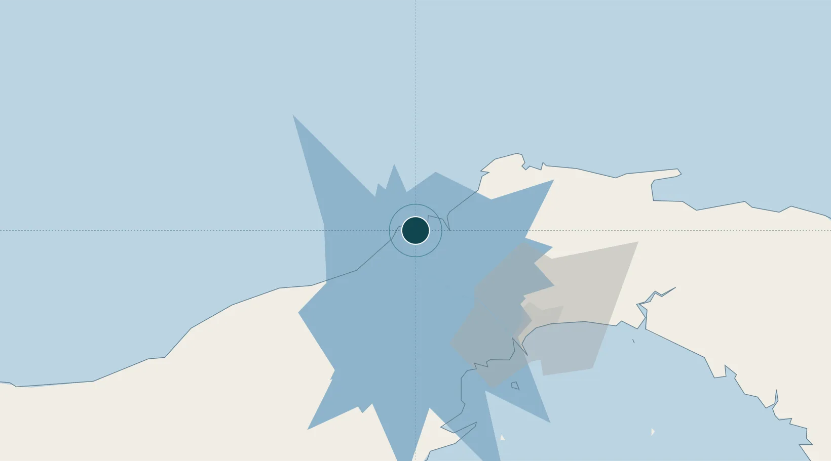
9.3500°, -79.9167°
12.5 m
Channel depth
1
Container terminals
196.4
Port liner connectivity
Puerto Cristobal is also a UN/LOCODE logistics hub →

Channel & Berth Profile

SEA LEVEL (CD)CHANNEL BEDAnchorage · 7.9 mOil terminal · 9.4 mChannel · 12.5 mCargo pier · 12.5 m
NGA World Port Index

Pilotage, Tugs & Services

Pilotage availableYES
Pilotage advisableYES
Tug assistanceYES
Salvage tugsNO
Shore powerYES
Potable waterYES
Diesel bunkersYES
MedicalYES
Garbage disposalYES
NGA World Port Index

Facilities & Capabilities

ContainerYES
Ro-RoYES
Liquid bulkYES
Dry bulkYES
Oil terminalYES
Break bulkYES
Dry dockNO
RepairsNO
BunkeringYES
Rail linkYES
Dangerous cargo
ISPS securityYES
NGA World Port Index

Harbour Specifications

Harbour size
Medium
NGA World Port Index
Harbour type
Coastal (Breakwater)
NGA World Port Index
Shelter
Good
NGA World Port Index
Water body
Caribbean Sea; North Atlantic Ocean
NGA World Port Index
Tidal range
1 m
NGA World Port Index
Overhead limit
No
NGA World Port Index

Liner Connectivity

196.4
PLSCI

Port Liner Shipping Connectivity Index for Puerto Cristobal, as published by UNCTAD for the latest available quarter. Higher values indicate stronger scheduled liner-shipping integration.

Shown relative to the highest per-port PLSCI in the dataset (1,657.9).

UNCTAD · Port Liner Shipping Connectivity Index

Location

Location of PACTB
Natural Earth 10m (public domain) · Colón · PACTB · 9.35, -79.92GoogleOSMYandex

Container Terminals · 1

PPC CONTAINER TERMINAL CRISTOBAL
PCPPC HUTCHISON PORTS PPC
SMDG Terminal Code List

Nearby Logistics Neighbours

Ports
  1. 1Puerto Colon4 km
  2. 2Bahia De Las Minas12 km
  3. 3Balboa59 km
  4. 4Vacamonte60 km
  5. 5Punta Rincon94 km
Nearest neighbours — logibook spatial index (haversine) over the source coordinates
Cities
  1. 1Manzanillo4 km
  2. 2Colón4 km
  3. 3Bahía Las Minas11 km
  4. 4Portobelo37 km
  5. 5La Zanguenga45 km
Nearest neighbours — logibook spatial index (haversine) over the source coordinates
Airports
  1. 1Enrique Adolfo Jimenez Airport6 km
  2. 2Marcos A. Gelabert International Airport58 km
  3. 3Panamá Pacífico International Airport60 km
  4. 4Tocumen International Airport66 km
  5. 5Scarlett Martinez International Airport111 km
Nearest neighbours — logibook spatial index (haversine) over the source coordinates
Trade Zones
  1. 1Colón Free Zone3 km
  2. 2Zona Franca Isla Margarita5 km
  3. 3Zona Franca de Chilibre41 km
  4. 4City of Knowledge (Ciudad del Saber)53 km
  5. 5Zona Franca de Hewlett Packard56 km
Nearest neighbours — logibook spatial index (haversine) over the source coordinates
DatabookThe Record of Consolidated Knowledge
Panama beyond logistics?
Browse databook

All Sources

Portsthe NGA World Port Index
Public domain (US gov)
Logistics performanceUNCTAD
CC BY 3.0 IGO
Portsthe SMDG Terminal Code List
UN/LOCODE — free, attribution
AirportsOurAirports
Public domain
LocationsUN/LOCODE
UN/LOCODE — free
Trade Zonesthe World Bank SEZ database
CC BY 4.0
Trade ZonesOpen Zone Map
CC BY
← Panama ports