Medium airport · Panama

Enrique Adolfo Jimenez AirportMPEJ
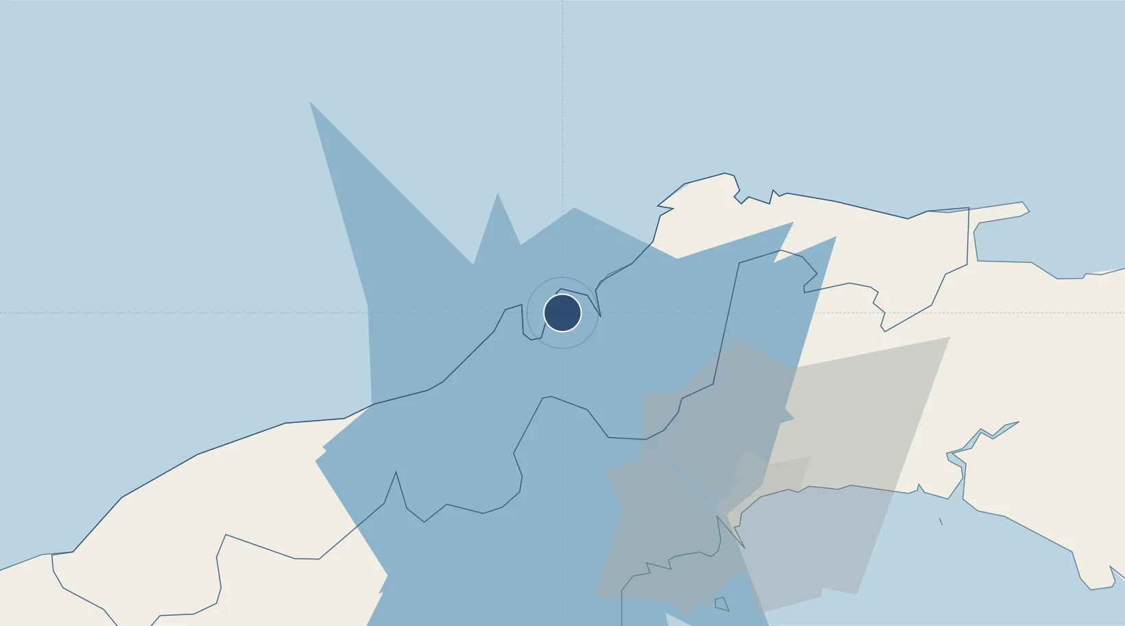
9.3566°, -79.8674°
8,858 ft
Longest runway
1
Runways
25 ft
Elevation

Runway & Layout

Enrique Adolfo Jimenez Airport runway & taxiway layout
Runway & taxiway layout — OpenStreetMap (ODbL) / OurAirports

Radio Frequencies

TWR
118.5 MHz
JIMENEZ TWR
GND
121.7 MHz
APP
119.7 MHz
PANAMA APP
UNIC
122.8 MHz
UNICOM
OurAirports

Navaids

FNC VOR-DME Enrique Jimenez 109.00 MHz
OurAirports

Runways · 1

RunwayDimensions SurfaceTrue headingLit
18/36 8,858 × 148ft Concrete 182°
OurAirports

Airport Specifications

IATA code
ONX
OurAirports
ICAO code
MPEJ
OurAirports
Airport class
Medium airport
OurAirports
Scheduled service
Yes
OurAirports
Runway surface
Concrete
OurAirports
Served city
Colón
OurAirports

Location

Location of MPEJ
Natural Earth 10m (public domain) · Colón · MPEJ · 9.36, -79.87GoogleOSMYandex

Nearby Logistics Neighbours

Airports
  1. 1Marcos A. Gelabert International Airport55 km
  2. 2Panamá Pacífico International Airport57 km
  3. 3Tocumen International Airport62 km
  4. 4Scarlett Martinez International Airport113 km
  5. 5Raul Arias Espinoza Airport122 km
Nearest neighbours — logibook spatial index (haversine) over the source coordinates
Cities
  1. 1Manzanillo2 km
  2. 2Colón3 km
  3. 3Cristóbal4 km
  4. 4Bahía Las Minas6 km
  5. 5Portobelo32 km
Nearest neighbours — logibook spatial index (haversine) over the source coordinates
Ports
  1. 1Puerto Colon2 km
  2. 2Puerto Cristobal6 km
  3. 3Bahia De Las Minas7 km
  4. 4Balboa56 km
  5. 5Vacamonte59 km
Nearest neighbours — logibook spatial index (haversine) over the source coordinates
Trade Zones
  1. 1Colón Free Zone3 km
  2. 2Zona Franca Isla Margarita4 km
  3. 3Zona Franca de Chilibre37 km
  4. 4City of Knowledge (Ciudad del Saber)50 km
  5. 5Zona Franca Panexport52 km
Nearest neighbours — logibook spatial index (haversine) over the source coordinates
DatabookThe Record of Consolidated Knowledge
Panama beyond logistics?
Browse databook

All Sources

AirportsOurAirports
Public domain
Portsthe NGA World Port Index
Public domain (US gov)
LocationsUN/LOCODE
UN/LOCODE — free
Trade Zonesthe World Bank SEZ database
CC BY 4.0
Trade ZonesOpen Zone Map
CC BY
InfrastructureOpenStreetMap
ODbL 1.0
← Panama airports