Channel & Berth Profile
Pilotage, Tugs & Services
Pilotage compulsoryYES
Pilotage availableYES
Tug assistanceYES
Potable waterYES
MedicalYES
Facilities & Capabilities
Container—
Ro-RoYES
Liquid bulkYES
Dry bulkYES
Oil terminal—
Break bulkYES
Dry dock—
RepairsNO
BunkeringYES
Rail link—
Dangerous cargo—
ISPS securityYES
Harbour Specifications
Harbour size
Small
Harbour type
River (Natural)
Shelter
Fair
Water body
Caribbean Sea; North Atlantic Ocean
Overhead limit
No
Pilotage
Yes
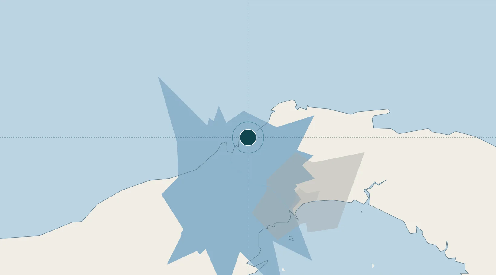
Location
Nearby Logistics Neighbours
Ports
- 1Puerto Colon8 km
- 2Puerto Cristobal12 km
- 3Balboa57 km
- 4Vacamonte62 km
- 5Punta Rincon106 km
Cities
- 1Bahía Las Minas2 km
- 2Colón8 km
- 3Manzanillo9 km
- 4Cristóbal11 km
- 5Portobelo25 km
Airports
Trade Zones
DatabookThe Record of Consolidated Knowledge
Panama beyond logistics?