UN/LOCODE hub · Panama
PALZA

La Zanguenga

8.9500°, -79.8667°
2
Transport functions

Transport Functions

Road
Multimodal
UN/LOCODE

Hub Profile

Region
8
GeoNames

Location

Location of PALZA
Natural Earth 10m (public domain) · 8 · PALZA · 8.95, -79.87GoogleOSMYandex

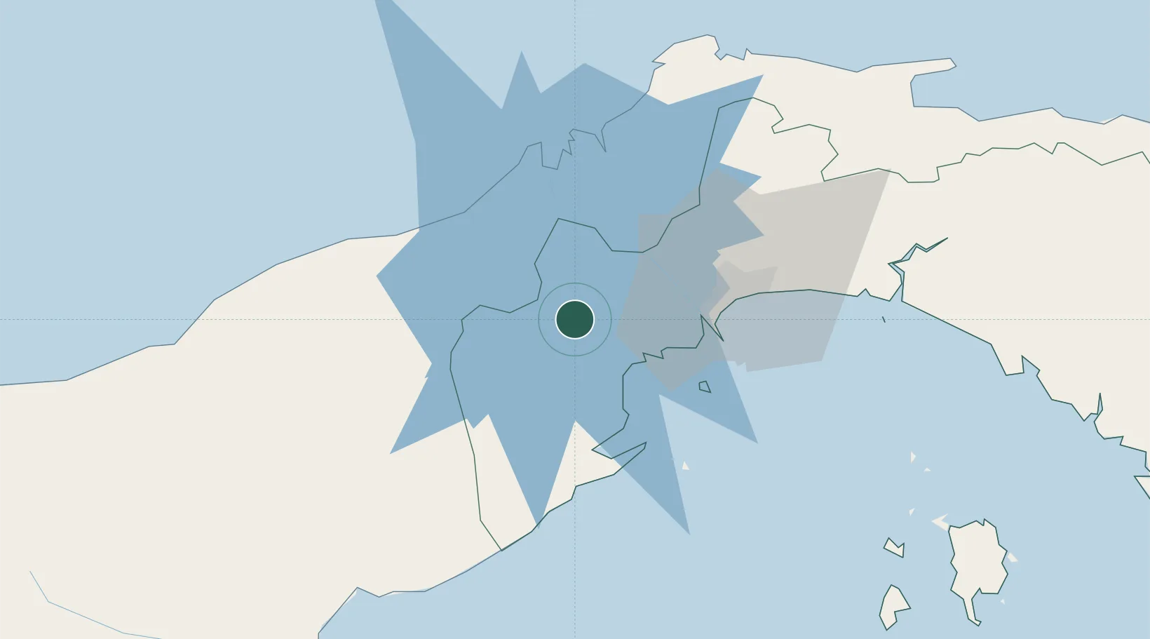
Nearby Logistics Neighbours

Cities
  1. 1Puerto Caimito19 km
  2. 2Vacamonte24 km
  3. 3Howard30 km
  4. 4Rodman32 km
  5. 5Panamá, Ciudad de33 km
Nearest neighbours — logibook spatial index (haversine) over the source coordinates
Ports
  1. 1Vacamonte24 km
  2. 2Balboa33 km
  3. 3Puerto Cristobal45 km
  4. 4Puerto Colon46 km
  5. 5Bahia De Las Minas50 km
Nearest neighbours — logibook spatial index (haversine) over the source coordinates
Airports
  1. 1Panamá Pacífico International Airport30 km
  2. 2Marcos A. Gelabert International Airport34 km
  3. 3Enrique Adolfo Jimenez Airport45 km
  4. 4Tocumen International Airport55 km
  5. 5Scarlett Martinez International Airport70 km
Nearest neighbours — logibook spatial index (haversine) over the source coordinates
Trade Zones
  1. 1City of Knowledge (Ciudad del Saber)31 km
  2. 2Panamá Pacífico Special Economic Area31 km
  3. 3Zona Franca Marpesca Corozal33 km
  4. 4Zona Franca de Albrook35 km
  5. 5Zona Franca de Hewlett Packard37 km
Nearest neighbours — logibook spatial index (haversine) over the source coordinates
DatabookThe Record of Consolidated Knowledge
Panama beyond logistics?
Browse databook

All Sources

LocationsUN/LOCODE
UN/LOCODE — free
Portsthe NGA World Port Index
Public domain (US gov)
AirportsOurAirports
Public domain
Trade Zonesthe World Bank SEZ database
CC BY 4.0
Trade ZonesOpen Zone Map
CC BY
← Panama locations