UN/LOCODE hub · Panama
PACTB

Cristóbal

9.3542°, -79.9073°
2,366
Population
1
Transport functions
1
Container terminals

Transport Functions

Port
Cristóbal is also a profiled seaport →
UN/LOCODE

Hub Profile

Place type
Populated place
GeoNames
Region
Colón
GeoNames
Population
2,366
GeoNames
Time zone
America/Panama
GeoNames
Elevation
6 m
GeoNames
Logistics facilities
2
UN/LOCODE
Container terminals
1
UN/LOCODE

Location

Location of PACTB
Natural Earth 10m (public domain) · Colón · PACTB · 9.35, -79.91GoogleOSMYandex

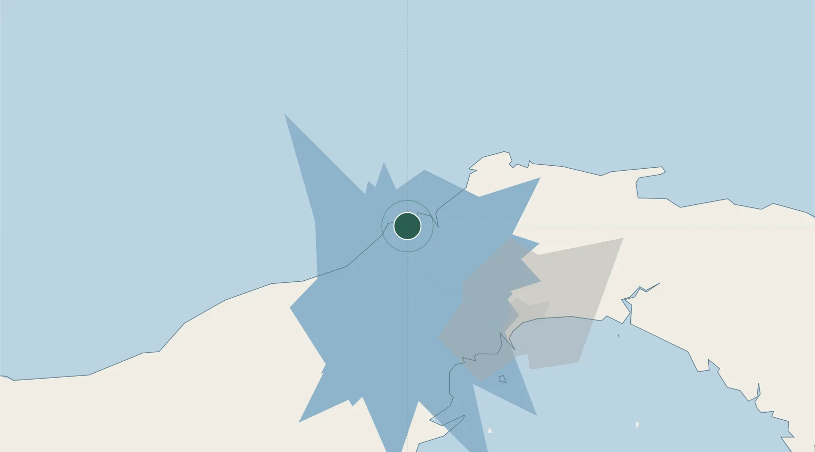
Nearby Logistics Neighbours

Cities
  1. 1Manzanillo3 km
  2. 2Colón3 km
  3. 3Bahía Las Minas10 km
  4. 4Portobelo36 km
  5. 5La Zanguenga45 km
Nearest neighbours — logibook spatial index (haversine) over the source coordinates
Ports
  1. 1Puerto Colon3 km
  2. 2Bahia De Las Minas11 km
  3. 3Balboa59 km
  4. 4Vacamonte60 km
  5. 5Punta Rincon95 km
Nearest neighbours — logibook spatial index (haversine) over the source coordinates
Airports
  1. 1Enrique Adolfo Jimenez Airport4 km
  2. 2Marcos A. Gelabert International Airport57 km
  3. 3Panamá Pacífico International Airport59 km
  4. 4Tocumen International Airport66 km
  5. 5Scarlett Martinez International Airport112 km
Nearest neighbours — logibook spatial index (haversine) over the source coordinates
Trade Zones
  1. 1Colón Free Zone2 km
  2. 2Zona Franca Isla Margarita4 km
  3. 3Zona Franca de Chilibre41 km
  4. 4City of Knowledge (Ciudad del Saber)52 km
  5. 5Zona Franca Panexport55 km
Nearest neighbours — logibook spatial index (haversine) over the source coordinates
DatabookThe Record of Consolidated Knowledge
Panama beyond logistics?
Browse databook

All Sources

LocationsUN/LOCODE
UN/LOCODE — free
LocationsGeoNames
CC BY 4.0
Portsthe NGA World Port Index
Public domain (US gov)
AirportsOurAirports
Public domain
Trade Zonesthe World Bank SEZ database
CC BY 4.0
Trade ZonesOpen Zone Map
CC BY
← Panama locations