Transport Functions
Port
Road
Hub Profile
Place type
District seat
Region
Colón
Population
1,393
Time zone
America/Panama
Elevation
11 m
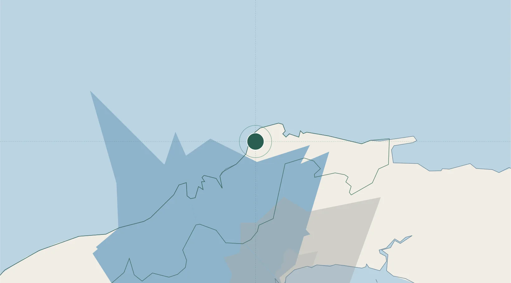
Location
Nearby Logistics Neighbours
Cities
- 1Bahía Las Minas26 km
- 2Colón33 km
- 3Manzanillo33 km
- 4Cristóbal36 km
- 5Belisario Frias57 km
Ports
- 1Bahia De Las Minas25 km
- 2Puerto Colon33 km
- 3Puerto Cristobal37 km
- 4Balboa67 km
- 5Vacamonte76 km
Airports
Trade Zones
- 1Zona Franca Isla Margarita32 km
- 2Colón Free Zone35 km
- 3Zona Franca de Chilibre44 km
- 4Zona Franca Panexport57 km
- 5Zona Franca del Istmo59 km
DatabookThe Record of Consolidated Knowledge
Panama beyond logistics?