Medium airport · Panama

Marcos A. Gelabert International AirportMPMG
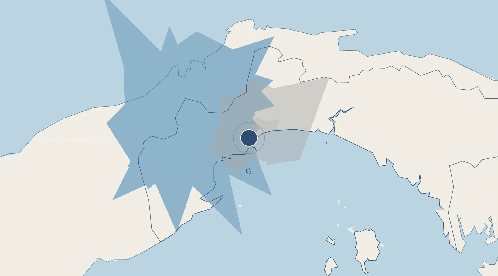
8.9733°, -79.5556°
5,906 ft
Longest runway
1
Runways
31 ft
Elevation

Runway & Layout

Marcos A. Gelabert International Airport runway & taxiway layout
Runway & taxiway layout — OpenStreetMap (ODbL) / OurAirports

Radio Frequencies

TWR
118.3 MHz
GELABERT TWR
GND
121.7 MHz
APP
119.7 MHz
PANAMA APP
ACC
133 MHz
PANAMA CON
ACC
133.3 MHz
PANAMA CON
MISC
121.2 MHz
VFR ADVSY SVC
OurAirports

Runways · 1

RunwayDimensions SurfaceTrue headingLit
01/19 5,906 × 98ft Asphalt 006°
OurAirports

Airport Specifications

IATA code
PAC
OurAirports
ICAO code
MPMG
OurAirports
Airport class
Medium airport
OurAirports
Scheduled service
Yes
OurAirports
Runway surface
Asphalt
OurAirports
Served city
Albrook
OurAirports

Location

Location of MPMG
Natural Earth 10m (public domain) · Panama · MPMG · 8.97, -79.56GoogleOSMYandex

Nearby Logistics Neighbours

Airports
  1. 1Panamá Pacífico International Airport8 km
  2. 2Tocumen International Airport22 km
  3. 3Enrique Adolfo Jimenez Airport55 km
  4. 4Raul Arias Espinoza Airport69 km
  5. 5Scarlett Martinez International Airport92 km
Nearest neighbours — logibook spatial index (haversine) over the source coordinates
Cities
  1. 1Ancon1 km
  2. 2Panamá, Ciudad de2 km
  3. 3Balboa2 km
  4. 4Rodman3 km
  5. 5El Dorado5 km
Nearest neighbours — logibook spatial index (haversine) over the source coordinates
Ports
  1. 1Balboa3 km
  2. 2Vacamonte17 km
  3. 3Bahia De Las Minas55 km
  4. 4Puerto Colon57 km
  5. 5Puerto Cristobal58 km
Nearest neighbours — logibook spatial index (haversine) over the source coordinates
Trade Zones
  1. 1Zona Franca de Albrook2 km
  2. 2Zona Franca Marpesca Corozal2 km
  3. 3Zona Franca Eurofusión4 km
  4. 4City of Knowledge (Ciudad del Saber)5 km
  5. 5Zona Franca de Hewlett Packard5 km
Nearest neighbours — logibook spatial index (haversine) over the source coordinates
DatabookThe Record of Consolidated Knowledge
Panama beyond logistics?
Browse databook

All Sources

AirportsOurAirports
Public domain
Portsthe NGA World Port Index
Public domain (US gov)
LocationsUN/LOCODE
UN/LOCODE — free
Trade Zonesthe World Bank SEZ database
CC BY 4.0
Trade ZonesOpen Zone Map
CC BY
InfrastructureOpenStreetMap
ODbL 1.0
← Panama airports