UN/LOCODE hub · Panama
PAPBM

Bahía Las Minas

9.4000°, -79.8333°
1
Transport functions

Transport Functions

Port
UN/LOCODE

Hub Profile

Region
3
GeoNames

Location

Location of PAPBM
Natural Earth 10m (public domain) · 3 · PAPBM · 9.40, -79.83GoogleOSMYandex

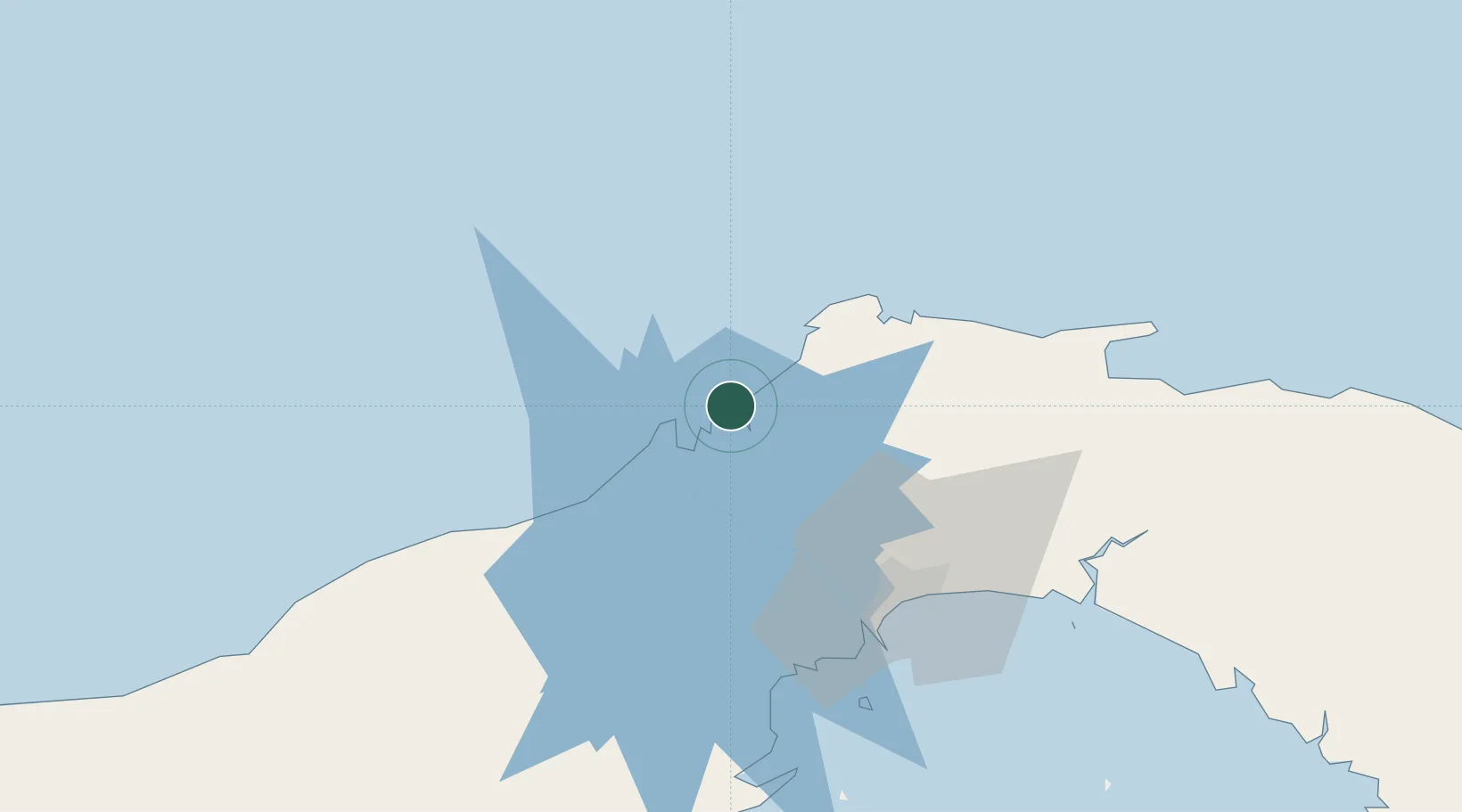
Nearby Logistics Neighbours

Cities
  1. 1Colón7 km
  2. 2Manzanillo7 km
  3. 3Cristóbal10 km
  4. 4Portobelo26 km
  5. 5La Zanguenga50 km
Nearest neighbours — logibook spatial index (haversine) over the source coordinates
Ports
  1. 1Bahia De Las Minas2 km
  2. 2Puerto Colon7 km
  3. 3Puerto Cristobal11 km
  4. 4Balboa58 km
  5. 5Vacamonte62 km
Nearest neighbours — logibook spatial index (haversine) over the source coordinates
Airports
  1. 1Enrique Adolfo Jimenez Airport6 km
  2. 2Marcos A. Gelabert International Airport56 km
  3. 3Panamá Pacífico International Airport60 km
  4. 4Tocumen International Airport61 km
  5. 5Scarlett Martinez International Airport118 km
Nearest neighbours — logibook spatial index (haversine) over the source coordinates
Trade Zones
  1. 1Zona Franca Isla Margarita6 km
  2. 2Colón Free Zone8 km
  3. 3Zona Franca de Chilibre37 km
  4. 4City of Knowledge (Ciudad del Saber)52 km
  5. 5Zona Franca Panexport53 km
Nearest neighbours — logibook spatial index (haversine) over the source coordinates
DatabookThe Record of Consolidated Knowledge
Panama beyond logistics?
Browse databook

All Sources

LocationsUN/LOCODE
UN/LOCODE — free
Portsthe NGA World Port Index
Public domain (US gov)
AirportsOurAirports
Public domain
Trade Zonesthe World Bank SEZ database
CC BY 4.0
Trade ZonesOpen Zone Map
CC BY
← Panama locations