Transport Functions
Port
Rail
Road
Hub Profile
Place type
Populated place
Region
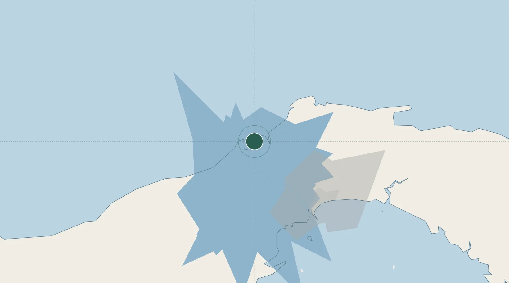
Colón
Time zone
America/Panama
Elevation
7 m
Logistics facilities
1
Container terminals
1
Location
Nearby Logistics Neighbours
Cities
- 1Colón1 km
- 2Cristóbal3 km
- 3Bahía Las Minas7 km
- 4Portobelo33 km
- 5La Zanguenga46 km
Ports
- 1Puerto Colon1 km
- 2Puerto Cristobal4 km
- 3Bahia De Las Minas9 km
- 4Balboa57 km
- 5Vacamonte60 km
Airports
Trade Zones
DatabookThe Record of Consolidated Knowledge
Panama beyond logistics?