Seaport · Norway
OsloNOOSL
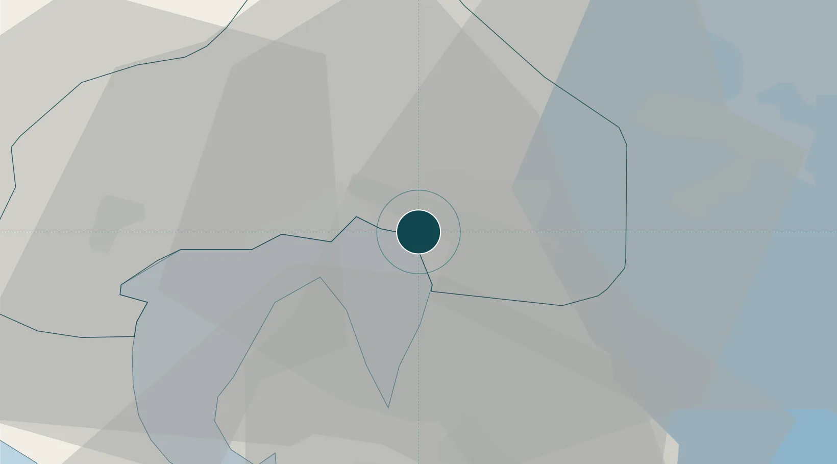
59.8981°, 10.7456°
11.0 m
Channel depth
2
Container terminals
65.4
Port liner connectivity
Channel & Berth Profile
Pilotage, Tugs & Services
Pilotage compulsoryYES
Pilotage availableYES
Pilotage advisableYES
Tug assistanceYES
Shore powerYES
Potable waterYES
Diesel bunkersYES
MedicalYES
Garbage disposalYES
Facilities & Capabilities
ContainerYES
Ro-RoYES
Liquid bulkYES
Dry bulkYES
Oil terminalNO
Break bulkYES
Dry dock—
RepairsNO
BunkeringYES
Rail linkYES
Dangerous cargo—
ISPS security—
Harbour Specifications
Harbour size
Large
Harbour type
Coastal (Natural)
Shelter
Good
Water body
Skagerrak; North Atlantic Ocean
Tidal range
1 m
Pilotage
Yes
Liner Connectivity
65.4
PLSCI
Port Liner Shipping Connectivity Index for Oslo, as published by UNCTAD for the latest available quarter. Higher values indicate stronger scheduled liner-shipping integration.
Shown relative to the highest per-port PLSCI in the dataset (1,657.9).
Location
Container Terminals · 2
FILIPSTAD QUAY
NSF NORSTEVE AS
SJURSOYA SOUTH QUAY
SCT YILPORT OSLO A/S
Nearby Logistics Neighbours
Ports
- 1Fagerstrand20 km
- 2Drobak27 km
- 3Drammen33 km
- 4Svelvik36 km
- 5Tofte41 km
Cities
- 1Sjursøja/Oslo2 km
- 2Fornebu7 km
- 3Snarøya7 km
- 4Lysaker8 km
- 5Lørenskog11 km
Airports
- 1Oslo-Gardermoen International Airport38 km
- 2Moss Airport, Rygge58 km
- 3Sandefjord Airport, Torp84 km
- 4Notodden Airport94 km
- 5Skien Airport103 km
Trade Zones
DatabookThe Record of Consolidated Knowledge
Norway beyond logistics?